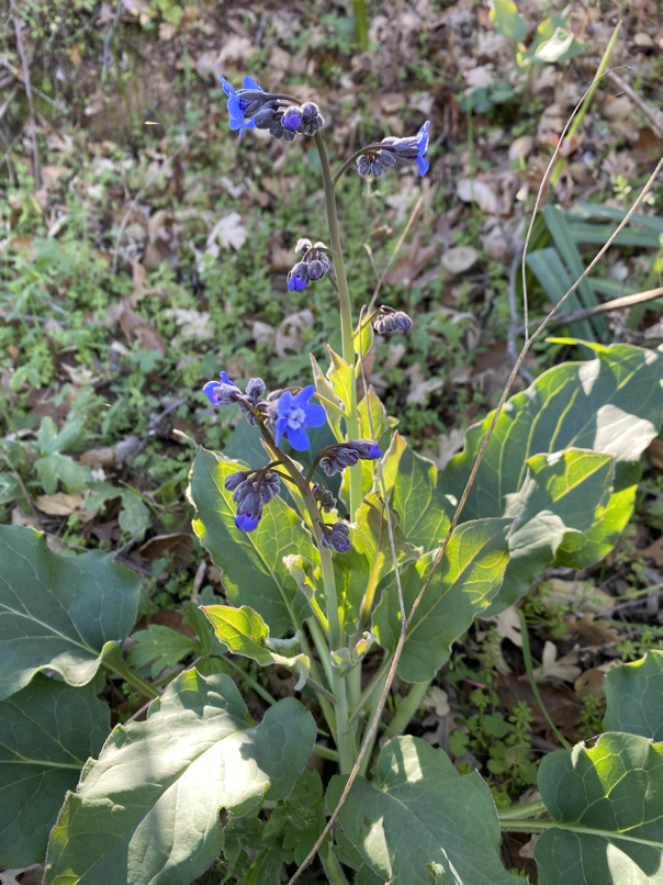
During the numerous runs in 2021 for my 50 Ultra Marathons for 50 project, 1. I covered a lot of unique ground and 2. Spent time learning about the lands I was exploring and 3. had time to reflect on many things 🙂 I kept getting to remote corners of the San Francisco Bay Area and was running right up to the burn perimeters (SCU Lightning Complex, especially). I was noticing new seedlings sprouting amongst the otherwise bleak, burned and charred land. Having just downloaded the iNaturalist app, I was curious to know if the flora/fauna I was seeing were endemic, native or invasive. The thing that kept coming to me was trail runners and ultra marathoners have the gift of being able to cover many miles in a given day, moving light through the mountains. Can we harness this gift of movement for something beyond just PRs (personal records) and peak-bagging?

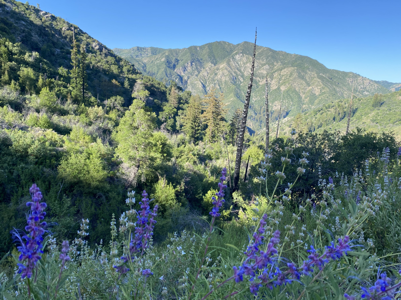
Firebagging – The Origins
The Tarahumara have a saying (emphasis mine):
If you run on the earth and run with the earth, you can run forever.
I feel like for the past 10 years, I’ve been running on the earth. Last year, however, something seemed to click. As I mapped out self-supported routes in and around the Bay Area, I also took a bit of time to learn about the ecology, the geology, watersheds – just enough to be aware. I’m no means an expert on this, but just the bit of knowledge about the land I was traversing gave a very different feel to my runs. They felt a lot more immersive and made me appreciate how incredibly lucky we are, to have access to these amazing wilderness around us.
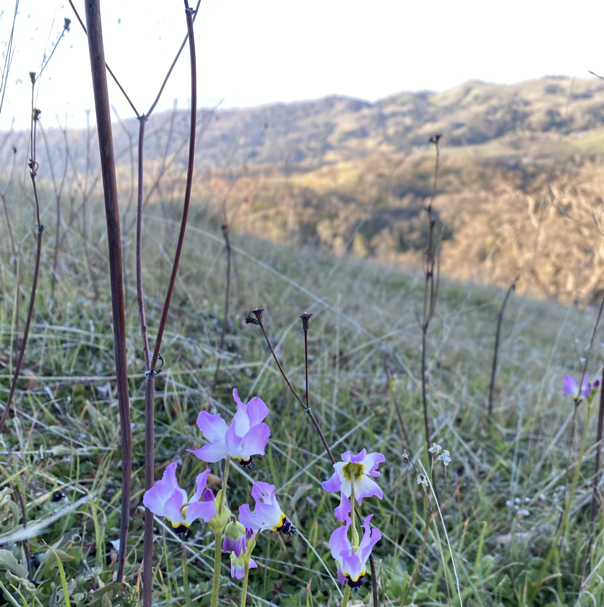
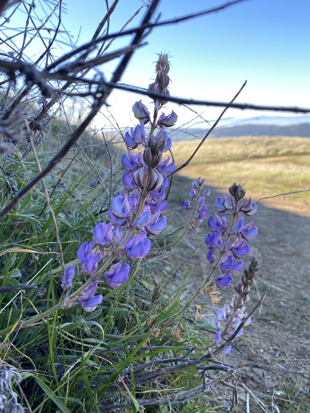
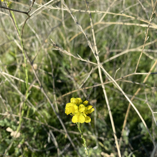
I reached out to Andrea Williams, Director of Biodiversity Initiatives at California Native Plant Society (CNPS) with this crazy idea of combining trail running with citizen science. She was the one that put the Firebagging moniker in my head. The idea itself was pretty simple. Most runners I know, love getting to beautiful places and taking pictures along the way and posting it on Strava and/or Instagram. All we would have to do then, was to also post these pictures to iNaturalist. This then gets picked up by various researchers that study rare & endemic plants and/or look into land conservation. Win-win!
Firebagging – The Mechanics
I’ve since been collaborating with Jose Esparza, Community Services Director @ CNPS. We are trying to bridge what the researchers need for observations, and mapping out routes that get runners close to the burn perimeter. Jose uses a GIS application (and Google Maps) that has all of the major 2020 burn areas in it:
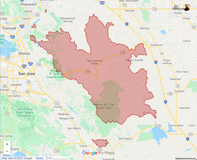
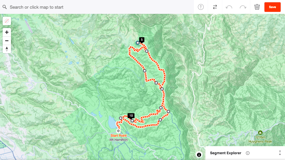
Taking this into account, the next step is to find routes that take runners to the burn perimeter. Currently, the Strava route builder doesn’t show burn areas, so it’s a bit of a manual process to check if the route overlaps with the burn area.
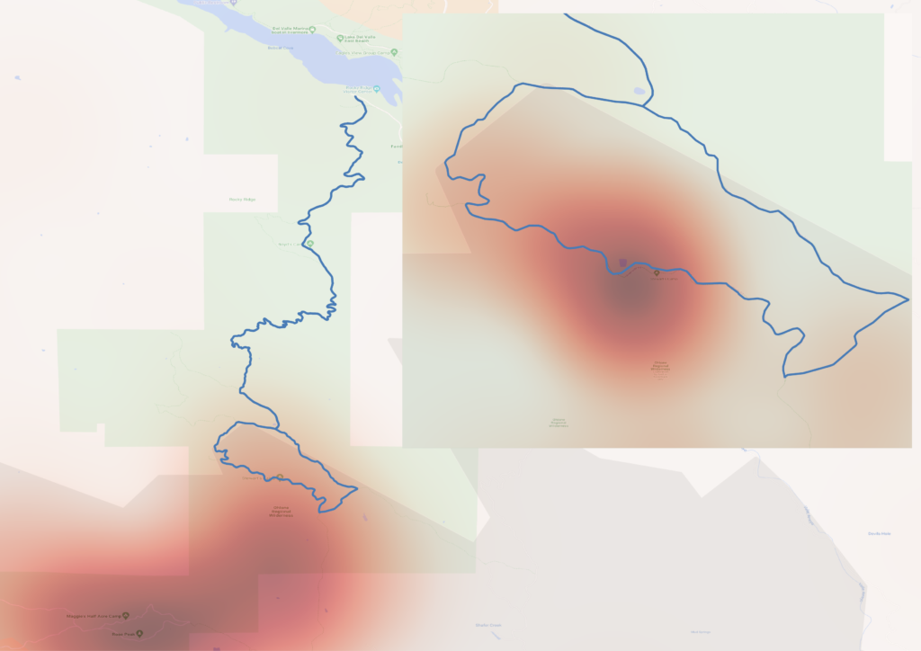
Using the GPX export from the route (even before the actual run), Jose then combines the burn area map, the route and data from iNaturalist to build a cool looking heatmap (pun intended). This allows us to see if the route will actually get us to areas that don’t have sufficient observations.
Once a run is completed, the researchers can use iNaturalist filters to see all the observations from that day at a given location:
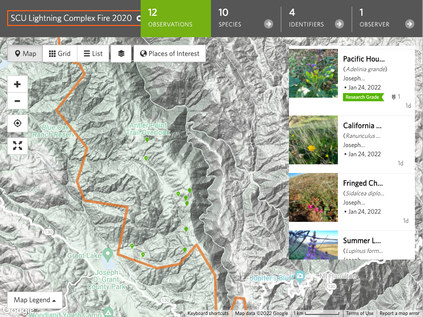
This is obviously a work in progress and we hope to get better at making the whole process a lot more seamless – both for runners and the researches! Look out for Firebagger Challenges coming to your Strava feed near you!
Firebagging – Join the Fun!
From a trail runner perspective, it’s as easy as going for a run and taking pictures:
- Learn about Fire Followers program from CNPS
- Download and install iNaturalist app
- Join the Firebaggers club on Strava and look out for group run events
- Follow @firebaggers on Instagram
- Take pictures during the run and upload them to iNaturalist
That’s it and thank you for contributing to science!
Absolutely N.O. spam. No more than two emails each week. Learn about injury-free running, race reports, new trail routes, awesome recipes and amazing interviews.