Ever since I had the crazy idea of running 50 ultras when I turned 50, Ventana Wilderness has been top of my list. Specifically the Pine Ridge Trail that runs through the entire Wilderness from Big Sur Station all the way to China Camp, about 23 miles one way. But the recovery from the Sobranes fire (the most expensive wildfire to fight in the US) five years ago has been slow. I was so pleasantly surprised that after 13,000 volunteer hours organized by Ventana Wilderness Alliance, the trail opened early April. I’ve been obsessing over the details and the route knowing fully well that this would be the furthest I’ve run from civilization. Here’s my Strava activity:
Scouting and Resources
I went on a scouting hike mid April to talk to the rangers there, but also assess the parking situation, etc. In case you attempt this run, here are some things to know:
- Jack Glendening’s Big Sur Trailmap – especially with the crowd-sourced the trail conditions is the bomb
- Use the forums to see detailed reports on specific trails
- Parking is $10 with self-registration and the lot is open 24×7 – weekdays better
- Spring is a good time with the longer days and lack of coastal fog
- Other than China Camp most other campsites have spring or a creek running through
- Skyes Camp to Pine Ridge Camp is the crux of this route gaining about 3,200ft in a short few miles
- Even with a cold front, the backside gets pretty warm, so early start is probably the best
- Goes without saying, but carry a Personal Locator Beacon – I use the Garmin inReach
Up to Pine Ridge Camp
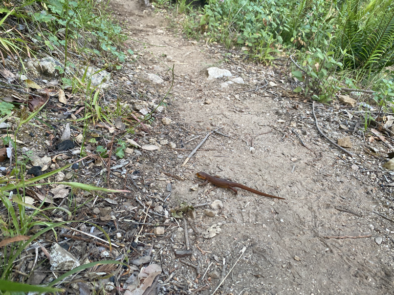
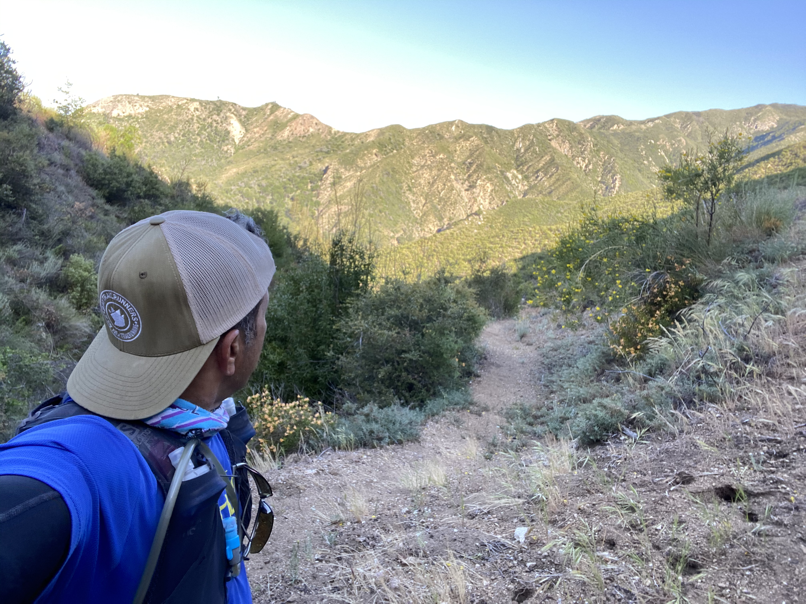
I started the run around 5am, the stars were out in their grandeur with clear skies and cool temperatures. I tried to time a cold front where the high was supposedly 65 degrees. Early in the first climb out, I saw two bright eyes staring back at me, but that was the only mammal encounter on this run. Did see some scat here and there, but very sparse.

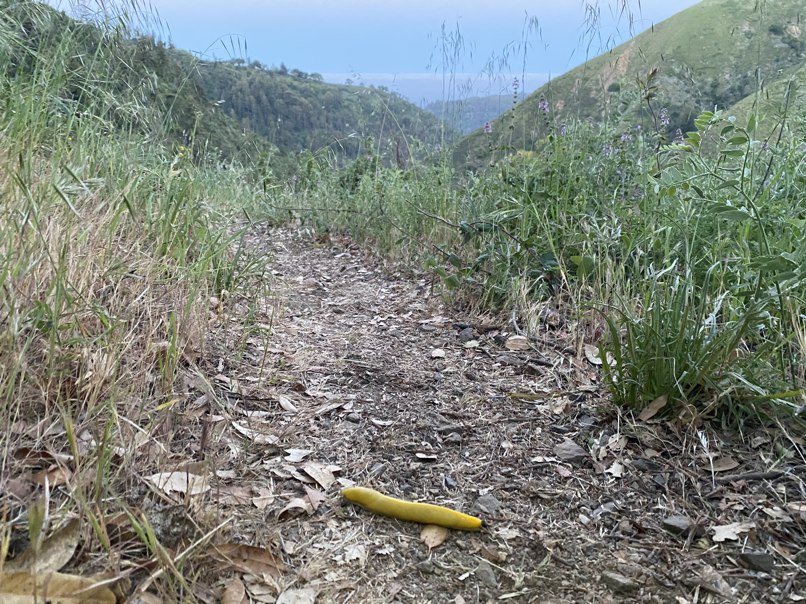
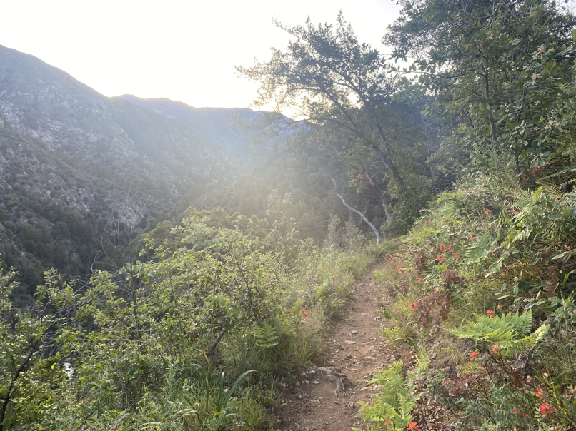


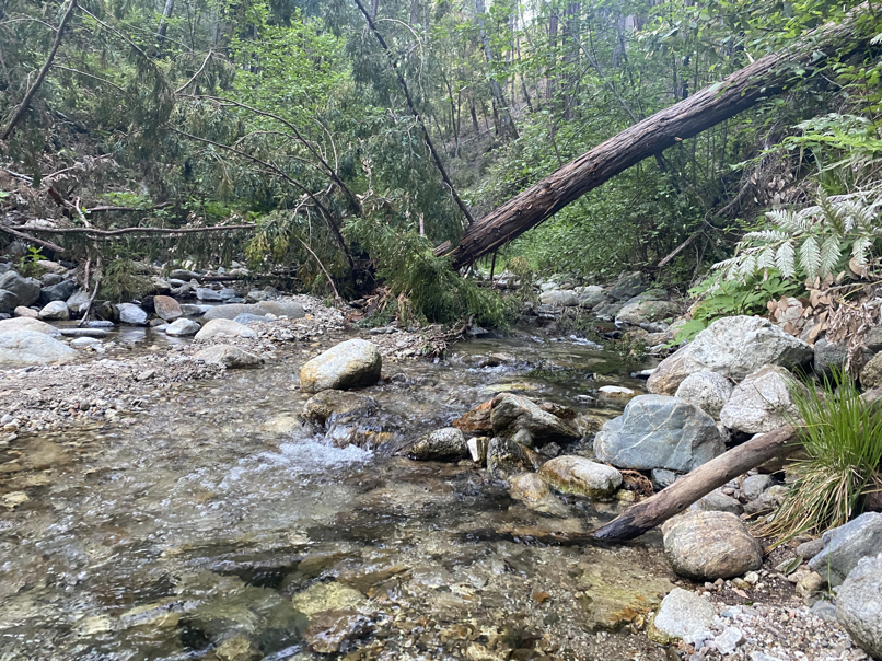
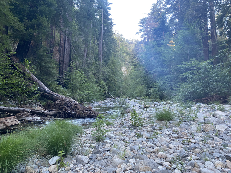
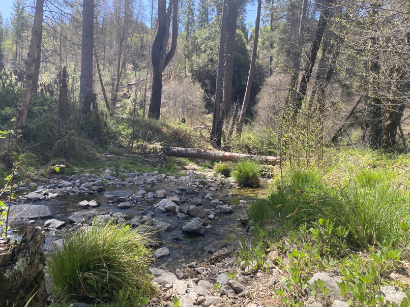
The early miles went by pretty easily (as they always do!). There was some rerouting of trails at Barlow Flat Camp which meant two creek crossings! Saw some backpackers camping out there, but there weren’t really anyone on the trails during the morning.
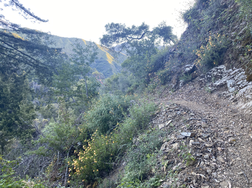
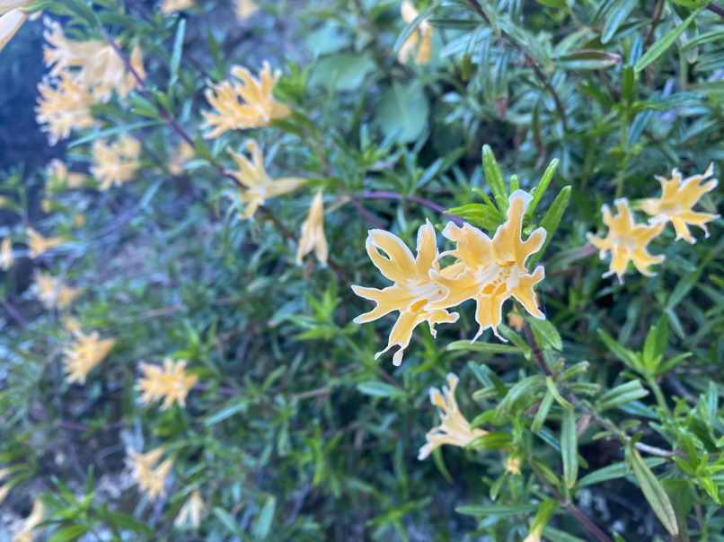
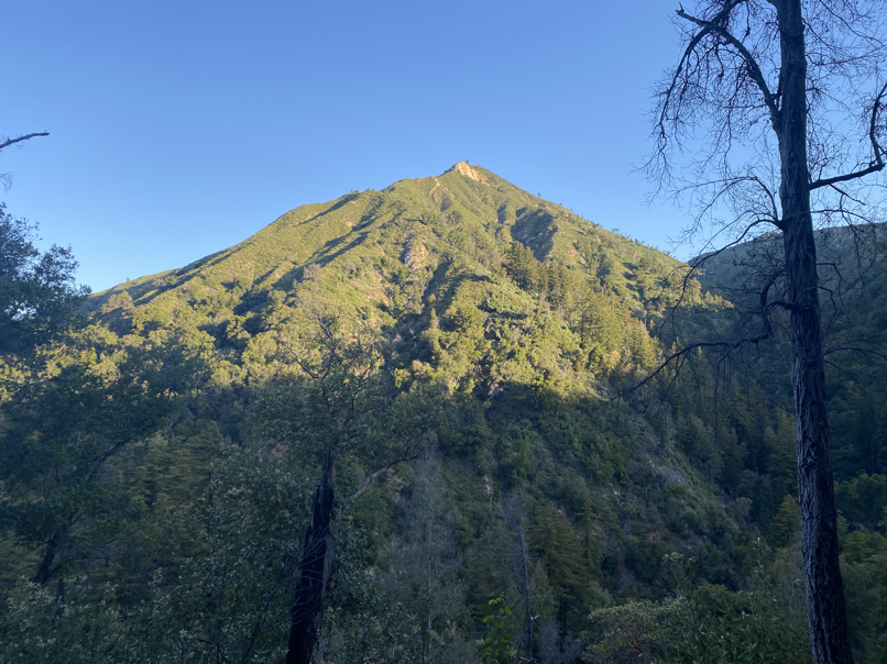
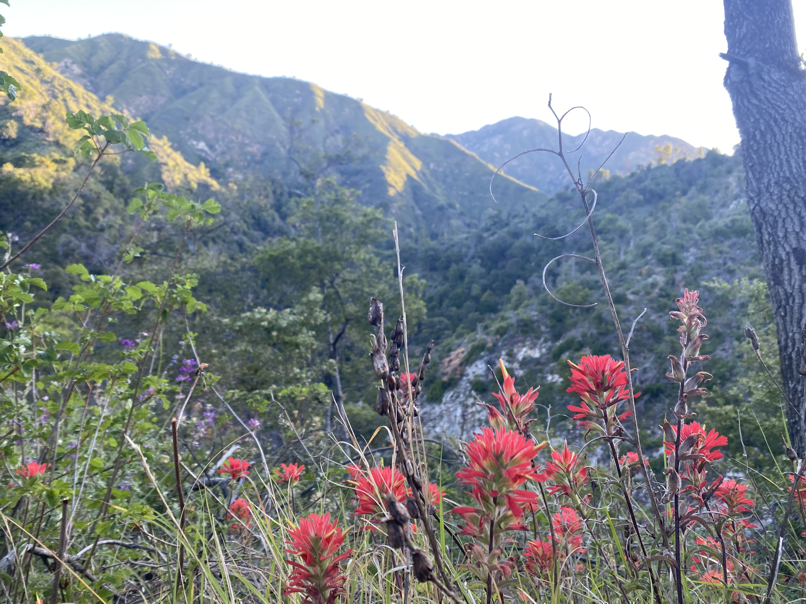
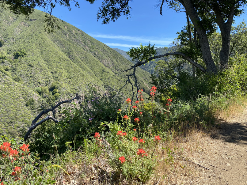
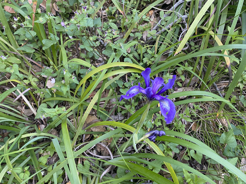
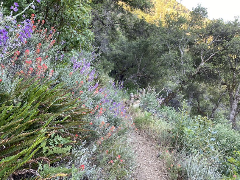
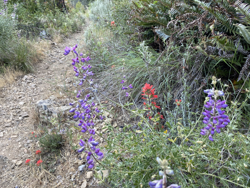
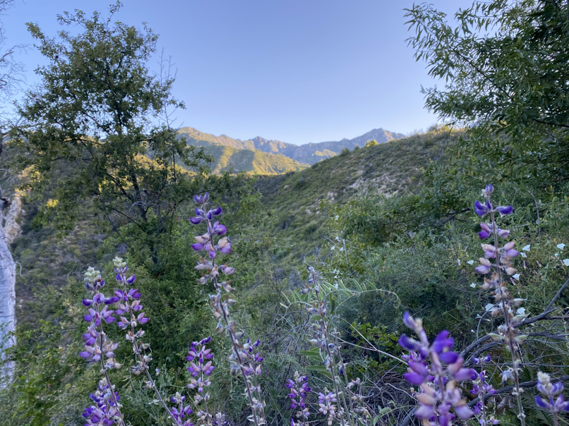
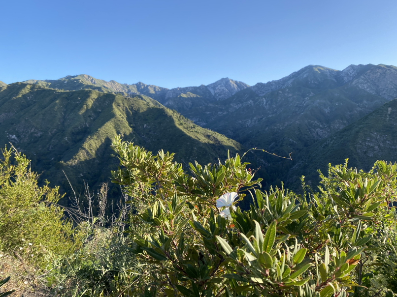
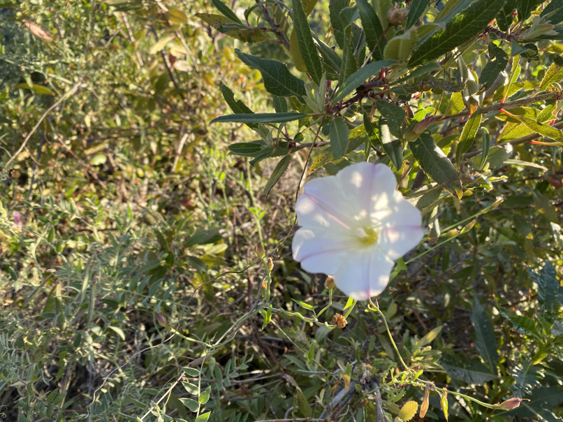
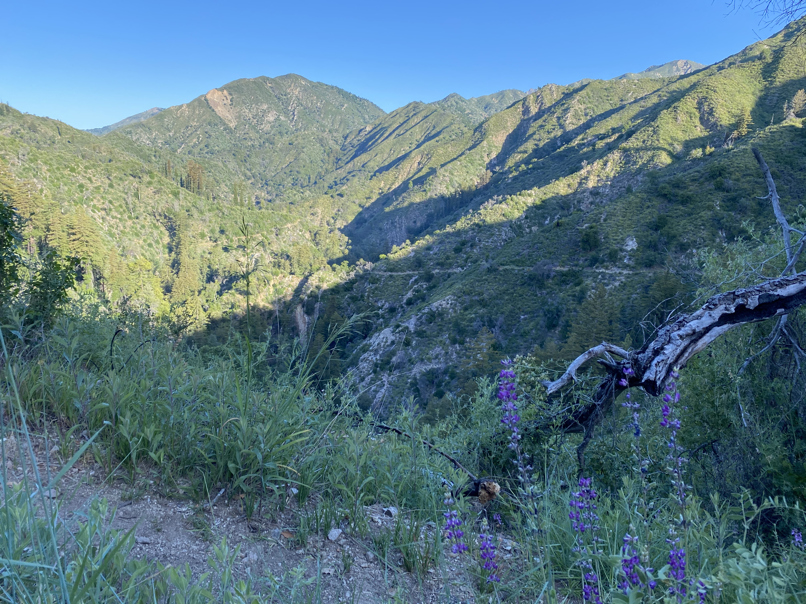
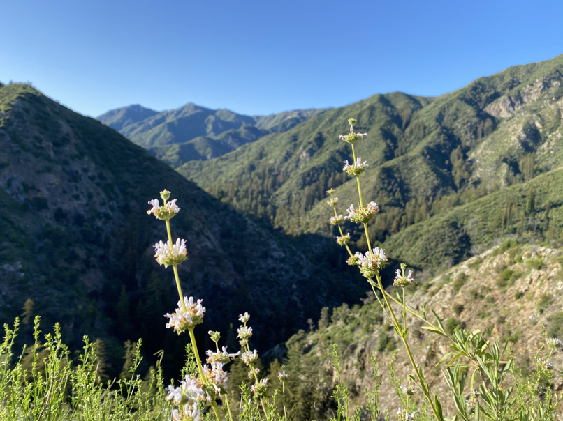
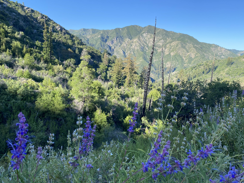
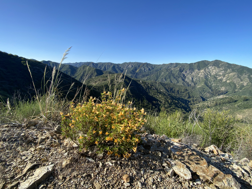
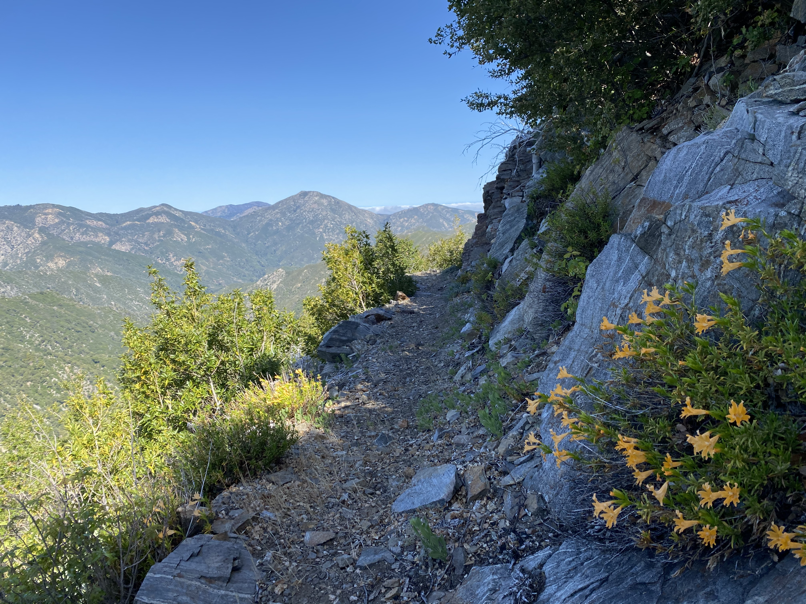
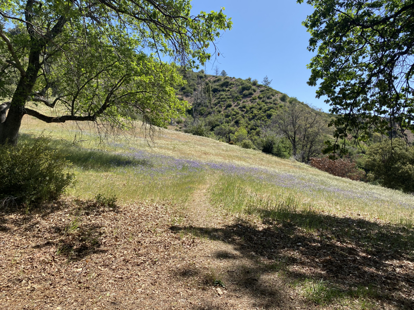
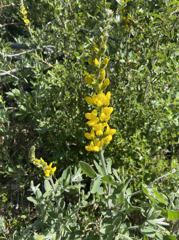
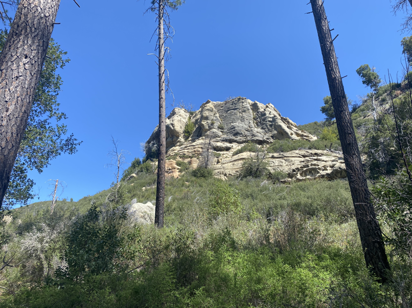
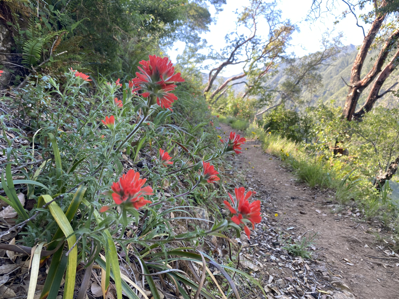
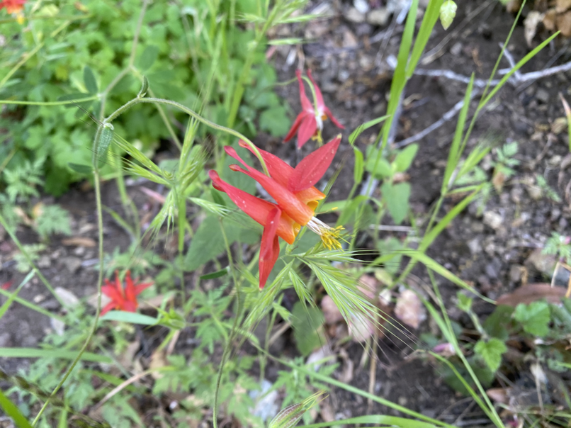
At least on the frontside, wildflowers littered the trails – they were so vivid and colorful and such a contrast to the wild ruggedness of Ventana. Also every picture I took, I tried to frame it with those dramatic backdrops!
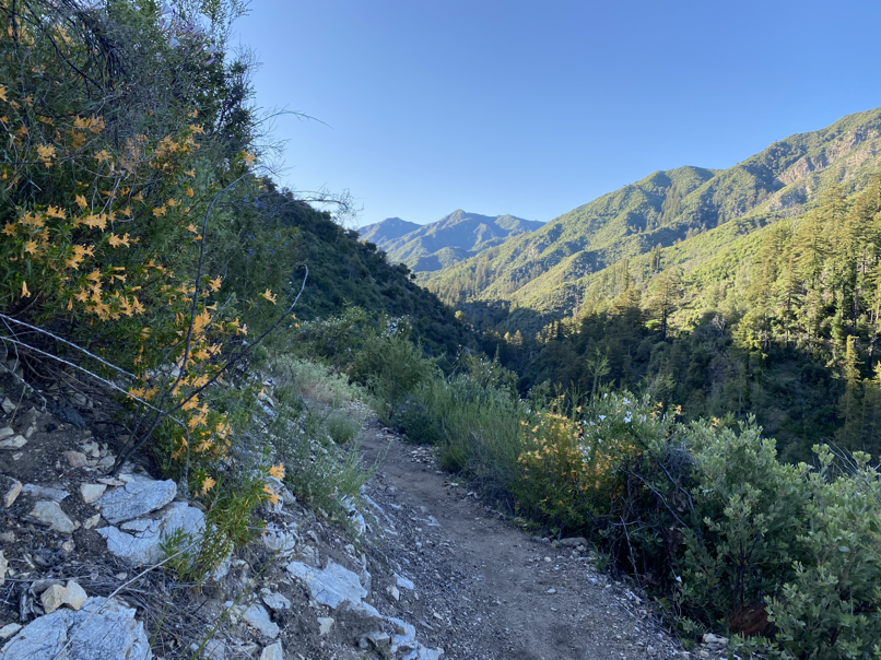

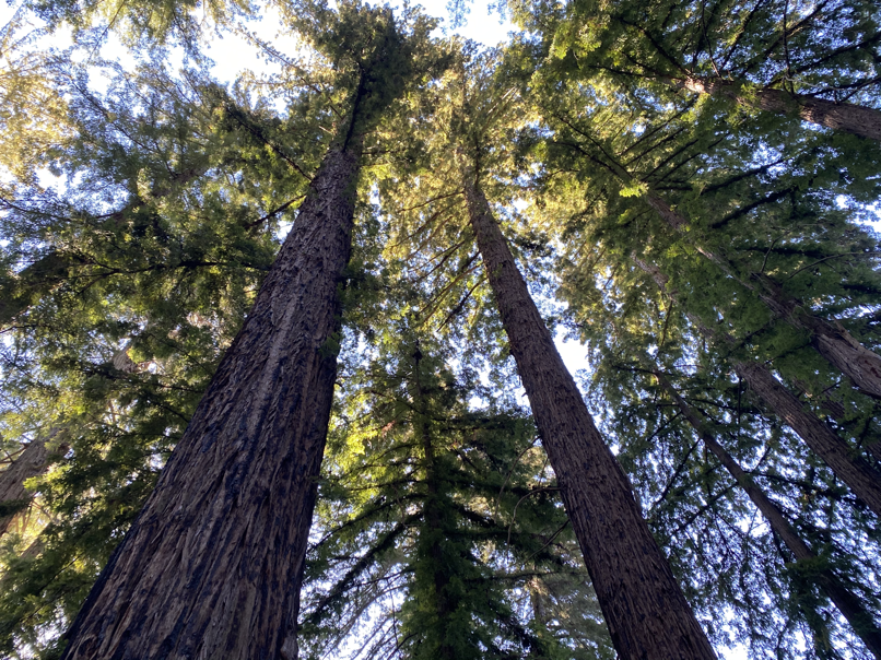
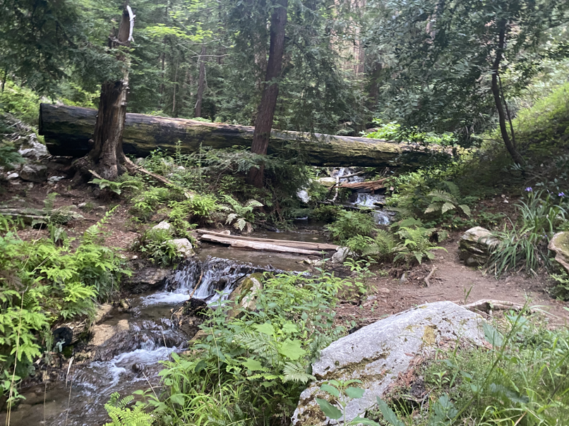
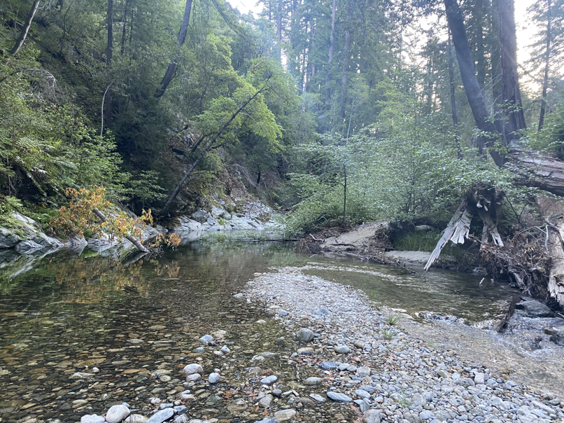
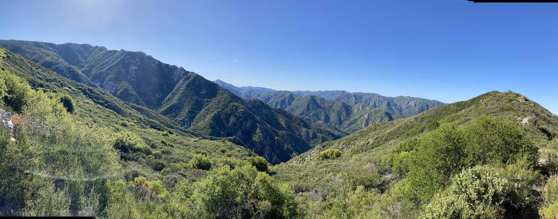
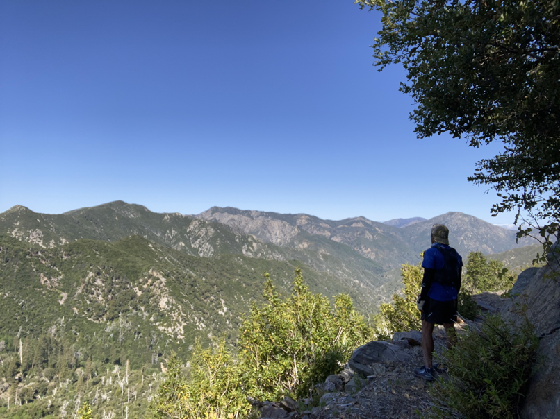
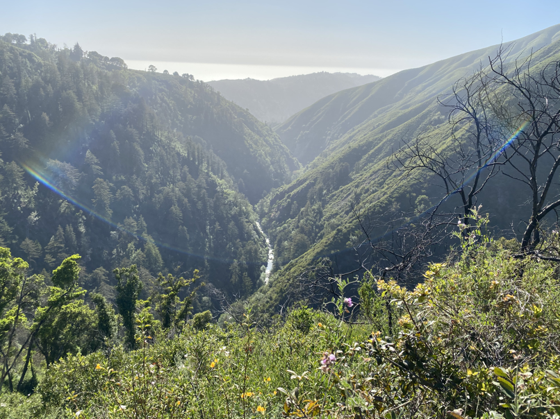
Went past Sykes Campground and the Redwood Camp had a beautiful surprise. A rushing creek lined with towering Coastal Redwoods. Some signs of the fire, but they seem to be thriving. The different flora here in the Santa Lucia Mountains were pretty amazing. I wasn’t expecting Coastal Redwoods some 12 miles into the run. From Redwood Camp, the climb to the Pine Ridge starts in earnest, switchbacks after switchbacks into ever growing expanse of vistas. Kudos to all the volunteers that made this happen. I can only imagine the amount of work it takes to hike all the way up here with trail maintenance gear and work on the trails!

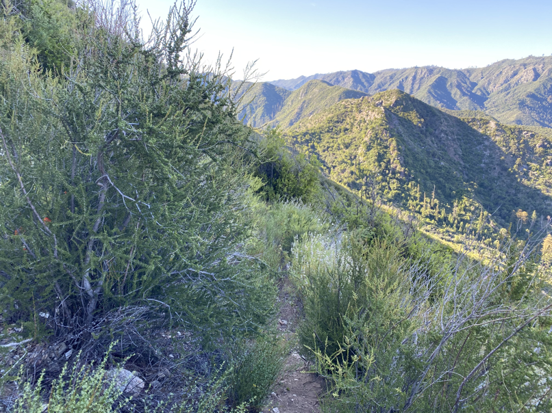
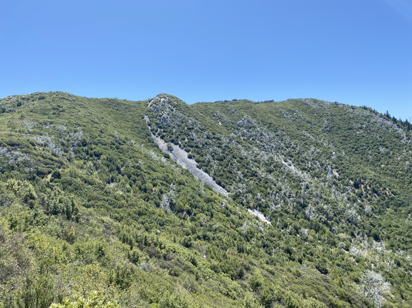
From the forums, I knew there were about two miles of bushwhacking starting just past the Big Sur trail junction, but boy was I in for a surprise. The vegetation up here were Manzanitas and Black Sage both ever so happy to grow into the trails and not nudge. I was thankful I had my arm sleeve, but my legs (wearing shorts) took a beating in these two miles leading up to Pine Ridge. Just cut after cut after cut. I tried not to think about the fact I would have to go through these on my way back! The only upside to this stretch was I ended up smelling like wild sage 🙂


The Backside – To Pine Valley Camp
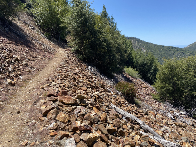
I was so happy and relieved to get out of bushwhacking mode and start to run again, but I was in for more surprises. The trail descending from Pine Ridge wasn’t exactly Wilderness Freeway – plenty of downed trees, screes, narrow slanted trails with steeps falls to one side, some overgrown vegetation. It was slow going.
Made it to Church Creek junction and decided to change course. My original plan was to go all the way to China Camp, but knew there was no water there. It was getting warm and I hadn’t refilled in a while. So I figured I’ll head to Pine Valley Camp, enjoy the Carmel River headwater a bit and then loop back via Bear Basin Trail.
Took my time to filter and reload water (so delicious!), douse myself with the stream water and started following the trail leading to Bear Basin trail. I was following the creek to the right until I realized I missed the point to cross over so I can head up to catch Pine Ridge trail again. But the trail here was so faint, a downed tree or so obstructing the crossing, I decided to backtrack my way back. Pine Valley was trapping the heat and it definitely didn’t feel like 65 degrees anymore. Back to navigating slippery narrow trails, parkouring over downed trees and avoiding chaparral (good luck with that!).
I’m pretty sure I F-bombed the mountain after getting through the 2 mile bushwhacking stretch! Ran the downhill to Redwood Camp and boy did the creek water feel good. The lone camper I saw this morning was gone and I saw him briefly when I passed him while descending to Sykes Camp. There was a bit more traffic on these trails, with backpackers coming in for the weekend. Stopped to douse myself with water on every rushing creek.
I use the Garmin inReach as my PLB (personal locator beacon) and I was dropping tracking every 20 minutes so my wife would know where I am. I was also sending checkpoint presets every 10 miles, which I think was a bit too long in the wilderness. The Eartmate app was also super helpful in looking at a real map, with the tracks I laid down on the way to Pine Valley. Only problem was my iPhone woke up in my running vest and decided to disable itself or an hour! That sucked, big time.
Lots of walking the last few miles. I was running down a hill, until I caught an edge and almost did a face plant. Given how tired I was and the fact almost close to finish, decided to just walk more and get back to the car in one piece. Made it back in 13 hours or so. This was such an amazing experience. Being in the wilderness alone just makes one feel so alive and in the moment. For one you have to be alert to be safe, but just experiencing these mountains and the grandeur they offer, one can’t help be in awe.
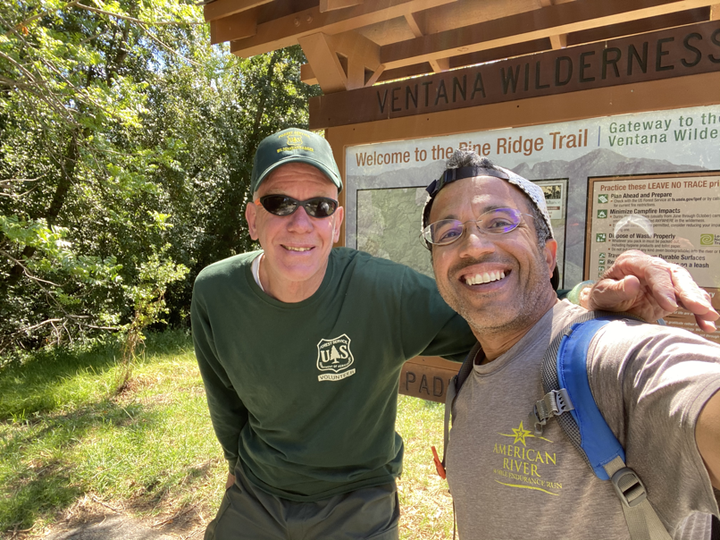
Last but not the least, shout out to Bobby Steger (volunteer), Tim Bills (ranger at Big Sur Station) and adventure runner/explorer Leor Pantilat who were all very gracious in sharing plenty of tips and wisdom to navigate this rugged wilderness, just in our backyard.
Absolutely N.O. spam. No more than two emails each week. Learn about injury-free running, race reports, new trail routes, awesome recipes and amazing interviews.