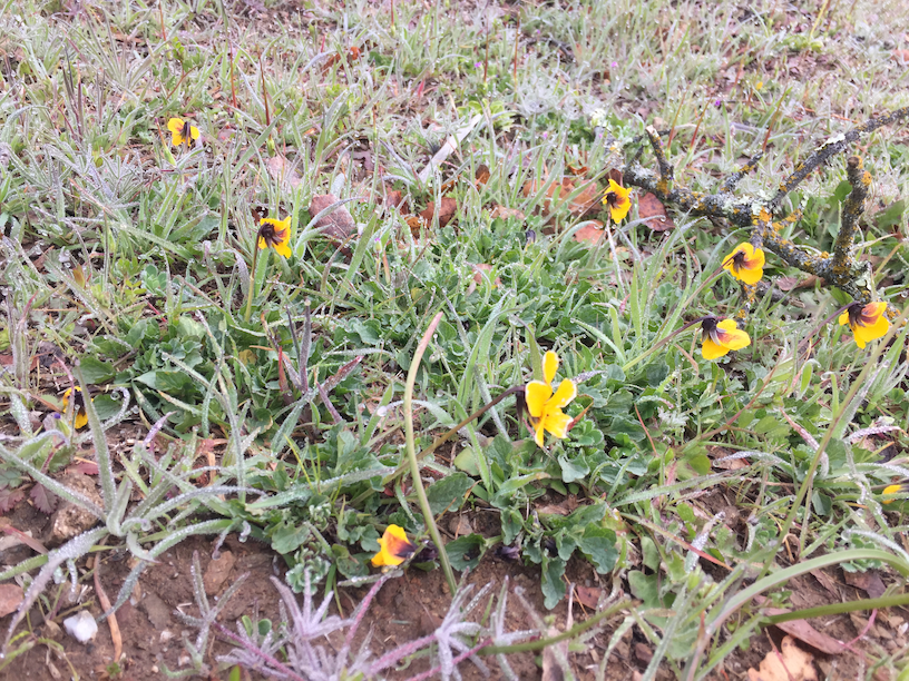
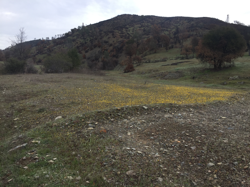
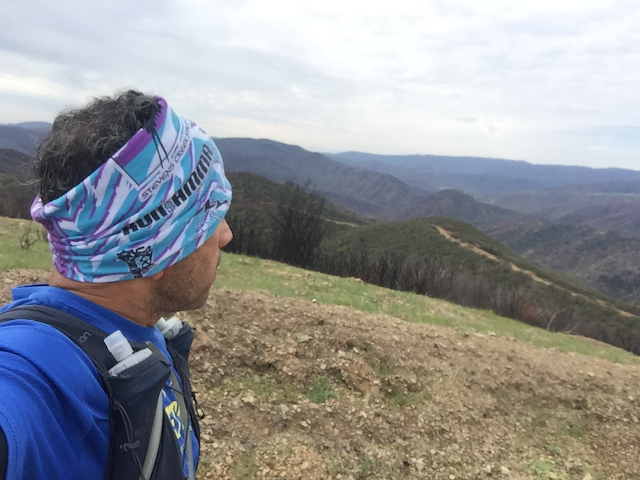
It’s kinda ridiculous when you pour over the map of Henry Coe and realize what a monster it truly is. With 87,000 acres it’s the largest park in northern California and the second largest in the state. This was a day of days – between two storms, temperature in the low 50’s, wildflowers everywhere, creeks gushing and plenty of wildlife encounters (well, no boar sighting which was prolly a good thing). With 8,000 feet of gain/loss on some very steep, steep trails, this one hurt for sure. But by golly, the remoteness, ruggedness, solitude, vistas, wildflowers, wildlife. Just incredible. Here’s my Strava activity:
Scouting the Route
I’m so glad I did a scouting run a few days prior and talked to a ranger. Some of the routes I had mapped with Strava would’ve taken me into private lands! Oops! Also with the SCU fire, large swaths of the northern end were completely burned (photos below) to the point neither the signs nor the trails were visible. My general plan was to try and get to Mississippi Lake around mile 18 to purify and reload on water. While I had 1.25 liters of water + Tailwind in the bladder, I also added Tailwind (without water) to the soft flasks so I can keep the weight low and use them to refuel. That worked out pretty well. I also brought my Sawyer MINI + the squeeze pouch for water purification.
Hobbs Road
Half way up the very first hill on Monument Road, I realized I forgot to bring my sunglasses. And second, I was thinking I had too many layers. Turns out I would never need sunglasses because it was overcast and the layers worked out just fine as I alternated between the warm valleys and the cold ridges.
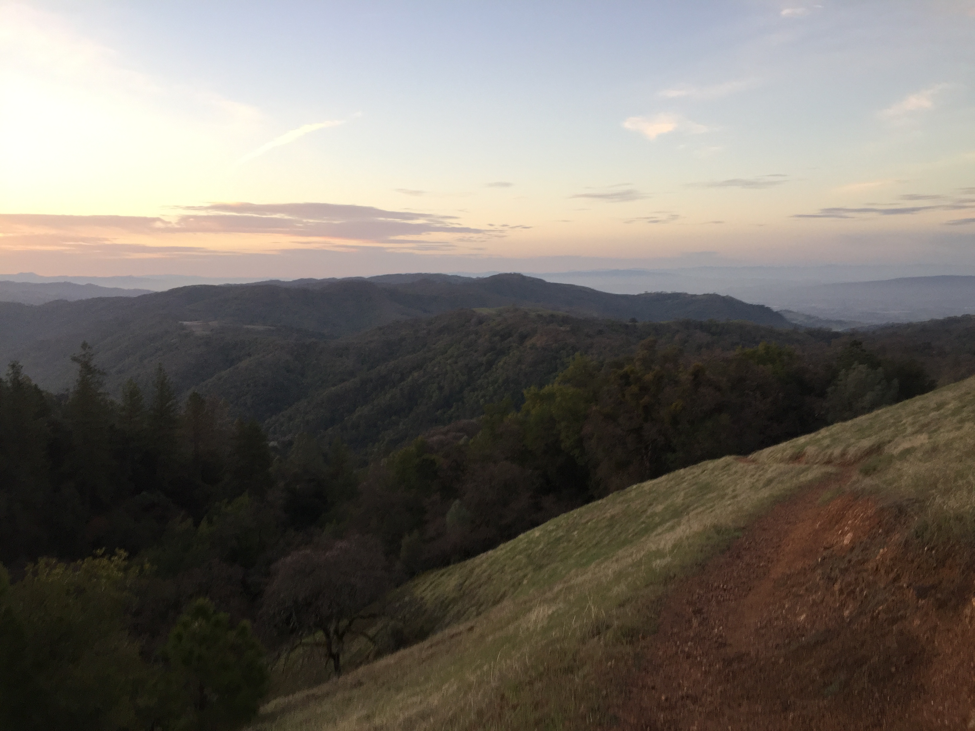
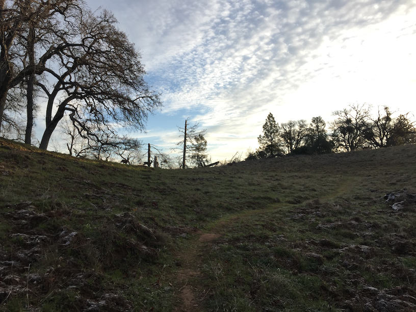
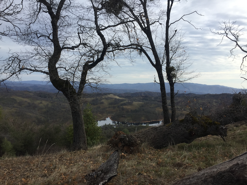
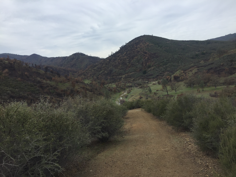
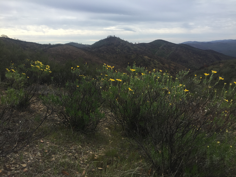
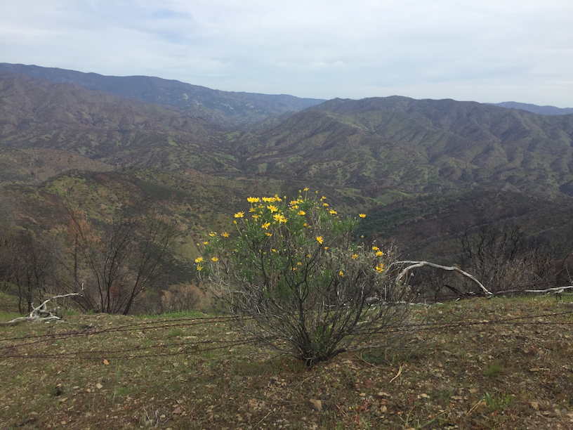
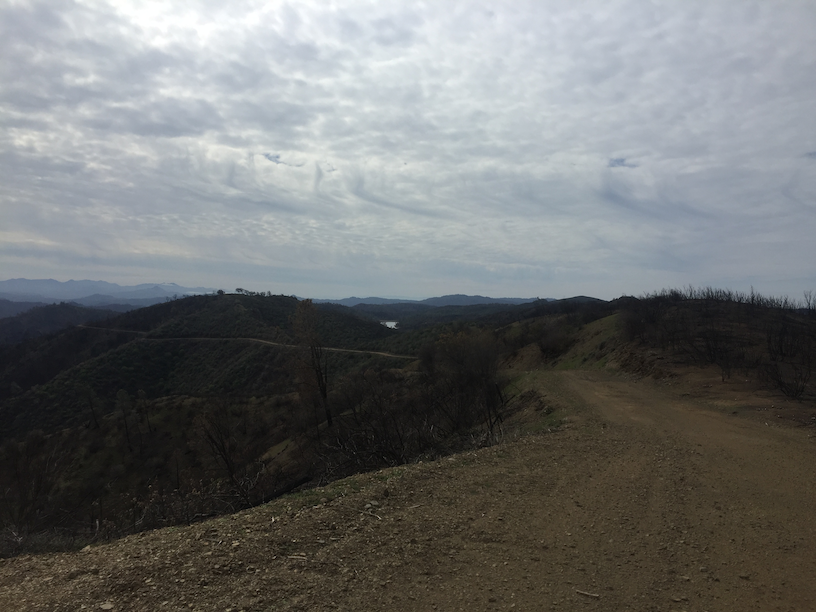
That’s Blue Ridge up at the distance, probably called that because of the sheer amount of Blue Oaks lining up that ridge. It was kinda cool to see the different biome over the run. From woodlands to riparian to interior chaparral (though mostly burnt unfortunately).
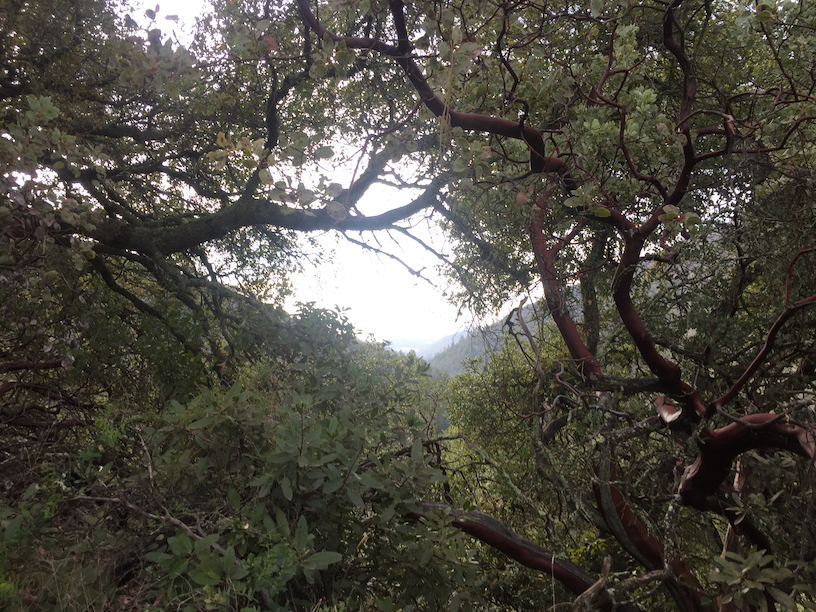
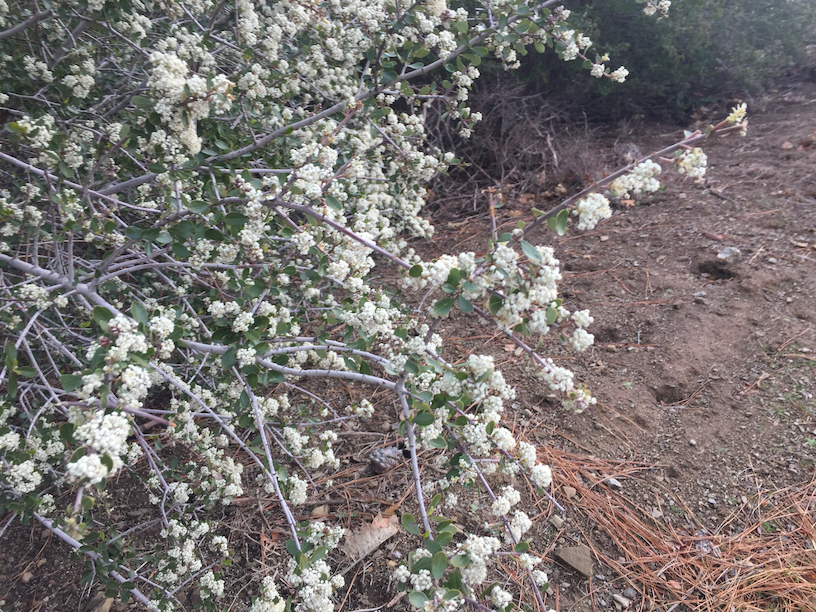
I noticed this on Strava and the Ranger warned me about the infamous Hobbs Road climb. It’s 1,500 feet of climbing in 0.5 miles! I was so glad I brought my ultralight poles with me. They were helpful throughout the run as these fireroads weren’t designed with switchbacks in mind! Manzanitas and Coastal Live oaks everywhere, birds were waking up and I kept thinking how remote I was already.
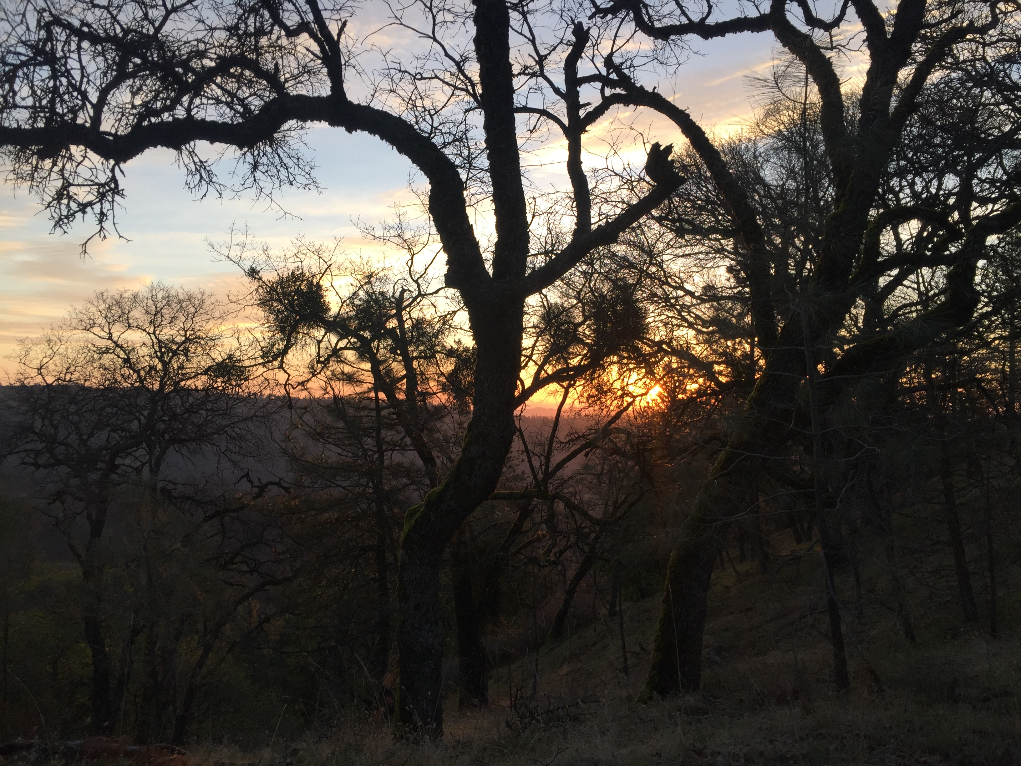
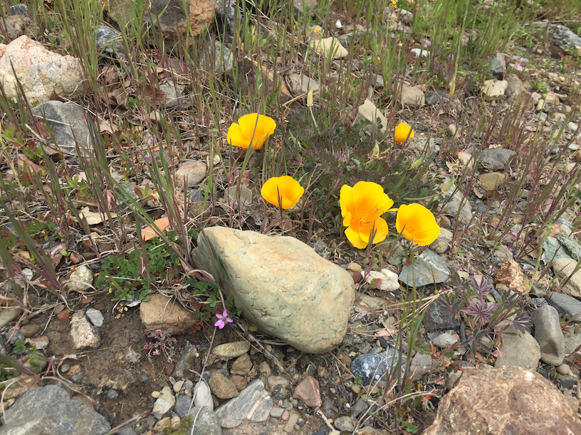
Blue Ridge
My original plan was to take Black Oak Spring Trail to Rock House Ridge Trail, but didn’t really see a sign. I had preloaded my Suunto Ambit3 with this route and suddenly noticed that I was completely off route. But then remembered that Blue Ridge eventually connects up with Rock House Ridge before the Bear Mountain climb.
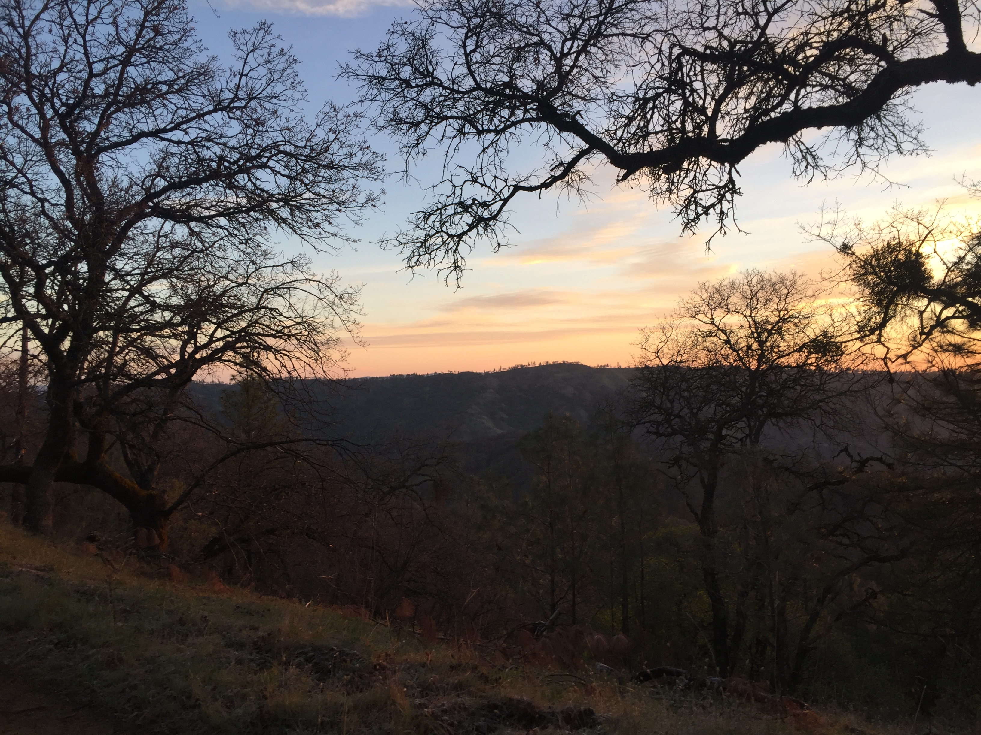
I don’t know if you can see the houses by the lake, but one of the Ranger that I spoke with told me those are private residences! Given the gnarliness of Hobbs Road, apparently Cal-Fire prefers to drive in from the northern end through these private properties.

Bear Mountain Road
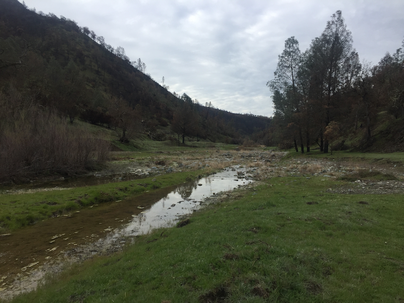
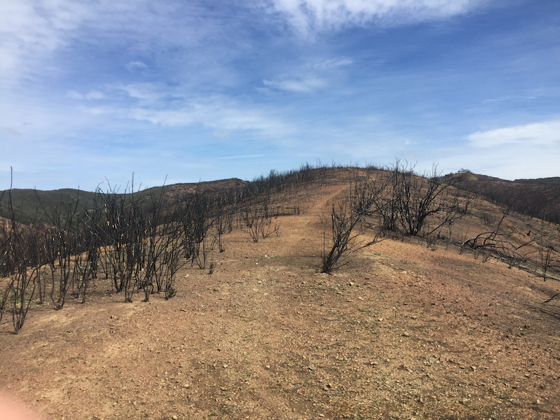
After a nice long downhill run on Blue Ridge, made it to the start of Bear Mountain Road. Though I will forever remember this as Burnt Mountain Road. As painful as it was to see the burnt chaparral, life clings on and already there was new green showing up at the roots of these shrubs. The initial half a mile of the road was flooded and the trail was pretty faint.
At some point the road started to ascend and I got a shock when I saw what looked like a big animal. Turned out to be a dead cow. Not sure if it was attacked or it simply veered off. But nature had already started to do its thing. Another steep steep climb which seemed to go on forever.


At some point I was supposed to make a right on Bear Springs Trail, but there was nothing. At this point I was hugging the County Line as the northern end was all private property. As much as the ranger told me AT&T works reasonably well on the ridges (which is true), I was pretty remote and far from civilization. Mental note to invest in a PLB (personal locator beacons) if there’s an emergency.
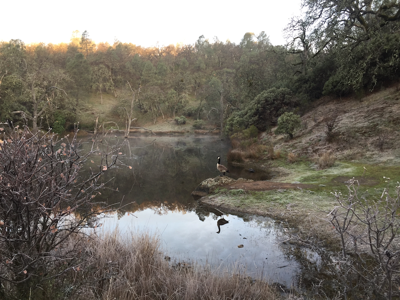
I rounded a bend and saw my first sighting of Mississippi Lake in the distance, about 2 miles out! I had a couple of bars on my cell and texted my wife about my current location. A helicopter flew above me and made me realize how remote I was to anything/everything. While the solitude was amazing, there was that concern about breaking something. Yeah, about that PLB.
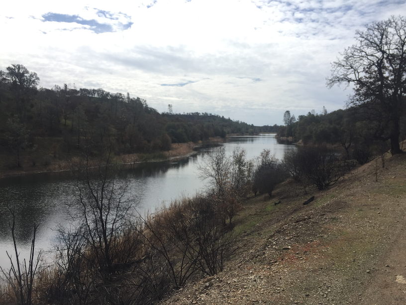
The west end of the lake was so filled with charred trees that I didn’t think it would be a good idea to purify and filter water from there. When I got to the southern most end, looked at the map and noticed that there were a few springs and creeks along the way. I was at mile 23 at this point and still had about 0.5 liters of water. So it was a bit of a gamble and the cool temperatures were helping.
Willow Ridge Road
Should’ve stuck with Willow Ridge Road. Instead I took Heritage Trail and then Pacheco Creek Trail which was like running through a series of backyard BBQs gone wrong. Charred chaparral everywhere, the trails very faint. Even the creek wasn’t flowing much.

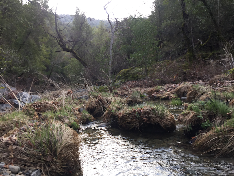
If Willow Ridge Trail wasn’t so overgrown, it would’ve been an awesome descent. Somewhere here I saw a spring and decided to purify and filter water. Was definitely the right decision and it gave me peace of mind for the remaining 5 miles or so.
Home Stretch
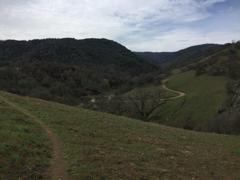
When I finally connected to Poverty Flat, it felt like I was pretty close to the finish line. After 6 something hours of not seeing a single person, started to see a few folks picnicking, a few backpackers and a couple of hikers. But Henry Coe does what Henry Coe does. The climb out of Los Cruzeros wasn’t merciful at all. Another steep climb out and eventually made it back to the Coe HQ in 7:45.
I only took one fall right at the start of Heritage Trail and jammed my pinky. In the possibilities of what can go awry in one of these remote runs, that’s a pretty minor incident. PLBs, here I come.
A few things on logistics/hydration/calories: I went through 2 liters of water with 1,000 calories of Tailwind + 2 Pro Bars (800 calories) + 3 gels (300 calories). Stashing a few scoops of Tailwind into the soft flasks, but without water is definitely something I will be repeating, if I can purify water and reload around mile 20. Also mental note to always do scouting runs or talk to rangers. Really helps with route planning. All in all, this was truly a day of days where everything mostly went just right.
Absolutely N.O. spam. No more than two emails each week. Learn about injury-free running, race reports, new trail routes, awesome recipes and amazing interviews.