Every time I’ve been to Yosemite, I’ve stared up at El Capitan in awe of the sheer granite face. Never did it occur to me that you can hike/run up to the top. Especially, after Alex Honnold’s free solo, I’ve always associated El Capitan with climbing. Serendipitously, Navin (my 21yo) and I (with help from my wife, Kammy) came up with an impromptu plan to fast pack from the Valley floor to El Capitan and back. Here’s my Strava Activity. My watch died before the 4 mile descent, so it’s not the whole 20-mile round trip.
The Find – Yosemite Falls Trail
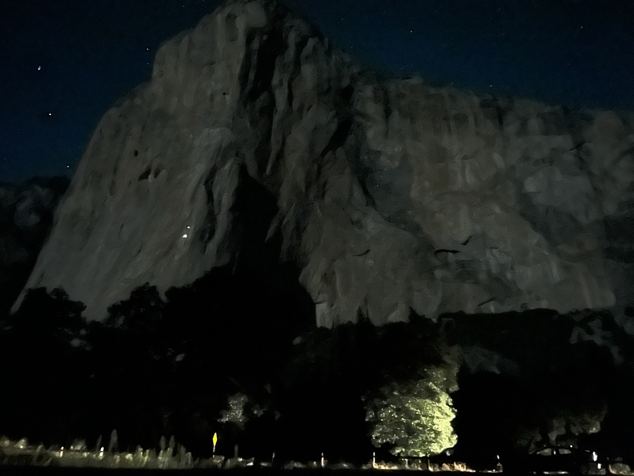
We drove up to Mono Lake on Sunday and after exploring around there, headed into Yosemite the day after. Navin hadn’t been back there since 8th grade, so it was fun to visit and reminisce the places he still remembered. The night we arrived, we drove out to the meadow under El Capitan and watched the Perseids meteor shower. What an amazing place for star gazing! We saw a couple of climbers headed up on El Capitan in the cooler hours of the night.
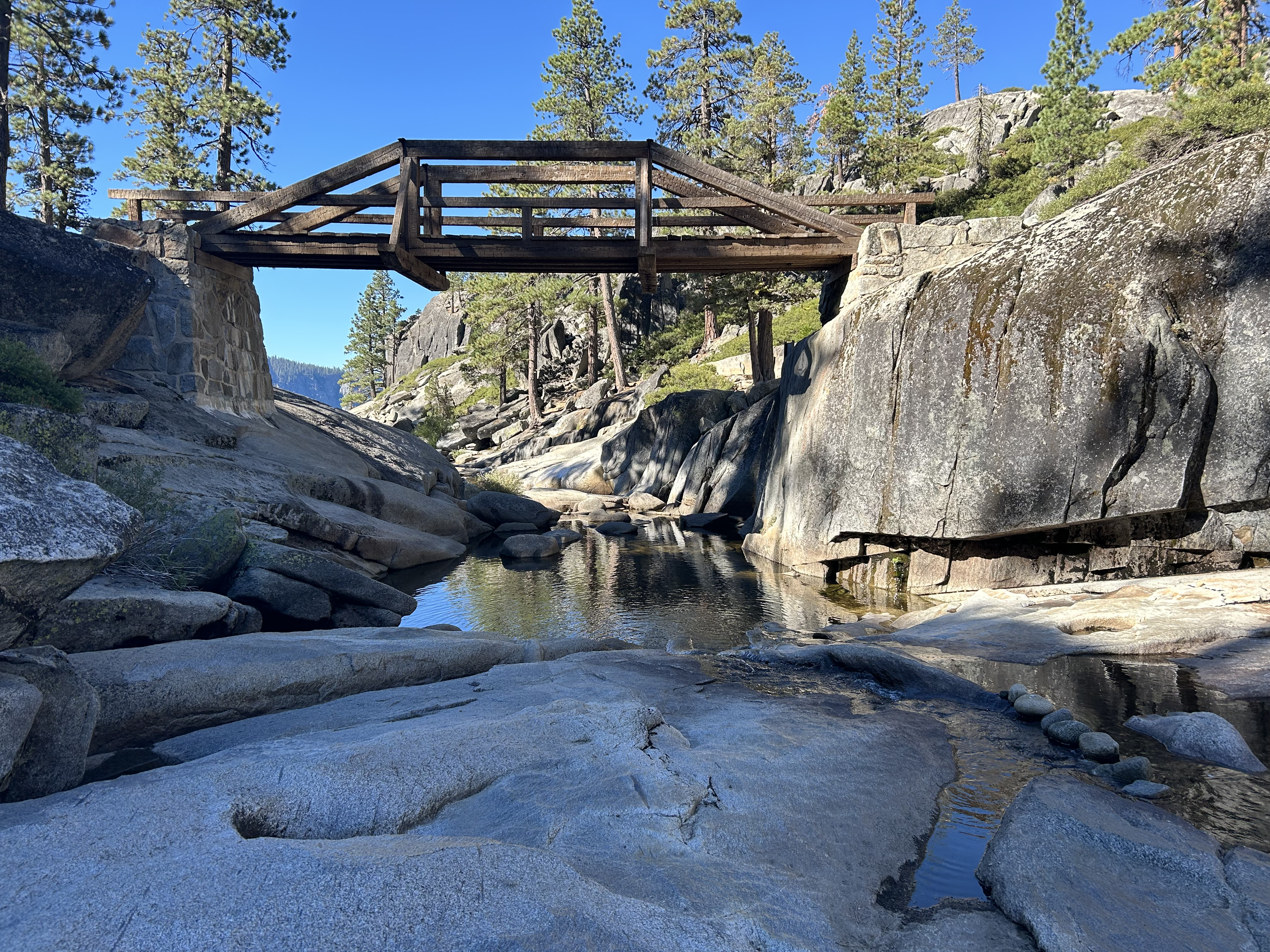
The next day, we decided to walk the Valley Loop trail, so starting from Curry Village, we meandered around and descended down into Camp 4 when we saw the trail sign leading up to Upper Yosemite Falls and from there to North Dome. Huh, that was interesting. Wonder if there was a way to hike to the top of El Capitan?
The Plan
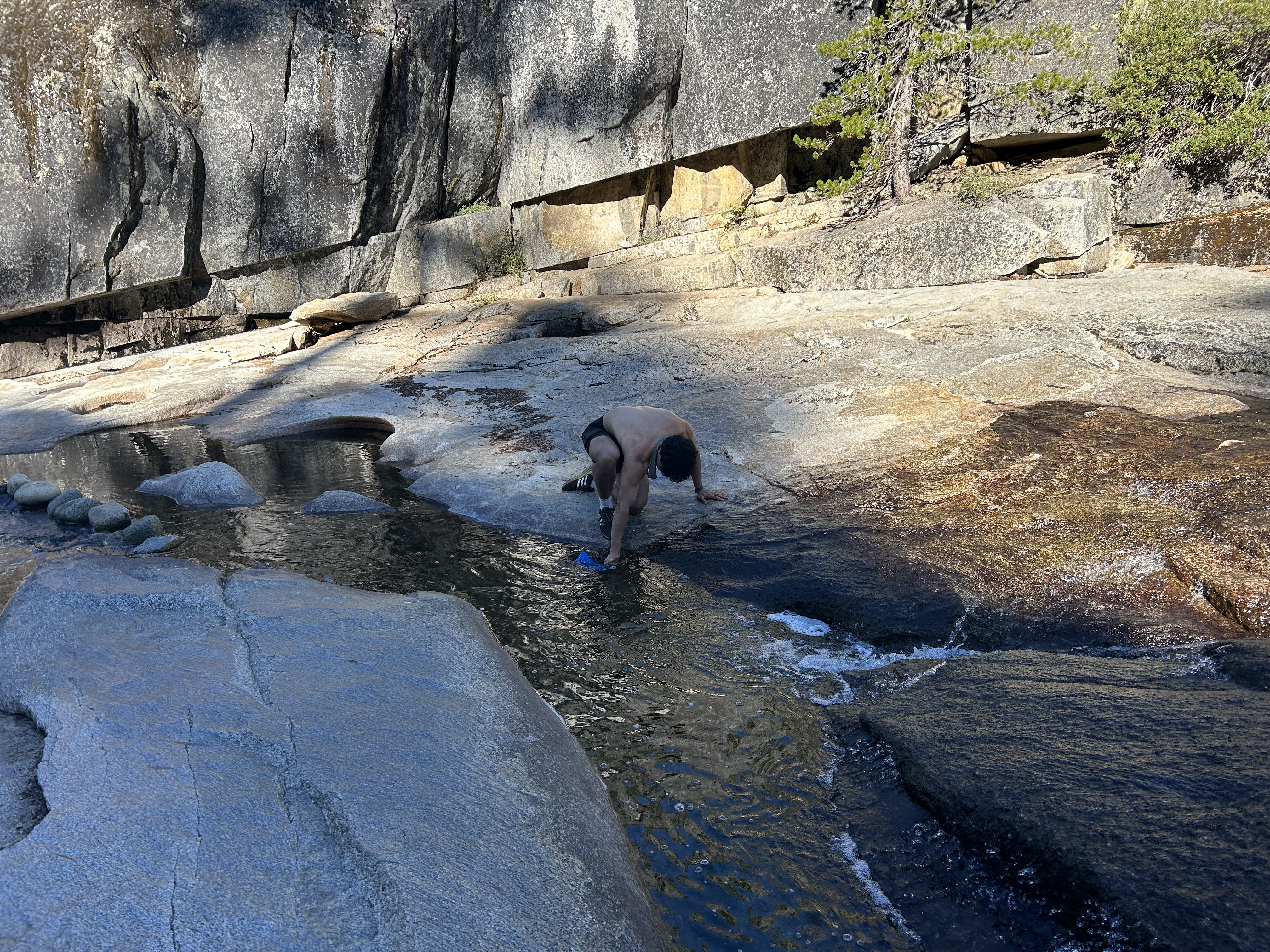
As the Valley Loop Trail took us right in front of El Capitan, we took a dip in the creek right across from it and started chatting more about if this impromptu hike was even possible. Our initial plan was for the three of us to go to May Lakes and summit Mt. Hoffmann (6 mile roundtrip). But seeing Navin’s excitement, Kammy was so generous to have us do this instead! 🥰

That night as we poured over the map, the route, and some other blogs, it looked like a 16 mile round trip. The two sets of million switchbacks leading up to the top of Upper Yosemite Falls looked the most gnarly. We thought it would take us about 6 – 6.5 hours. We hadn’t brought running vests, gels, etc. for this trip, but went to the little store in the hotel lobby, bought a few Clif bars and decided to go for it. Kammy let me borrow her lighter backpack (thank you!) and Navin just used his laptop bag! The big issue at hand was contingency planning. I didn’t have my Garmin inReach with me and we weren’t sure if there was cell signal up at the top. 🤞🏽
The Ascent
We drove into the park early’ish and got to the trailhead by 7am. The forecast for the top of El Capitan was low 70’s with not too much wind. We started hiking up towards Upper Yosemite Falls and stopped counting the switchbacks after 20! Up and up and up. I broke into a huge smile climbing past the timberline. Brought back all sorts of memories from my rock climbing days.
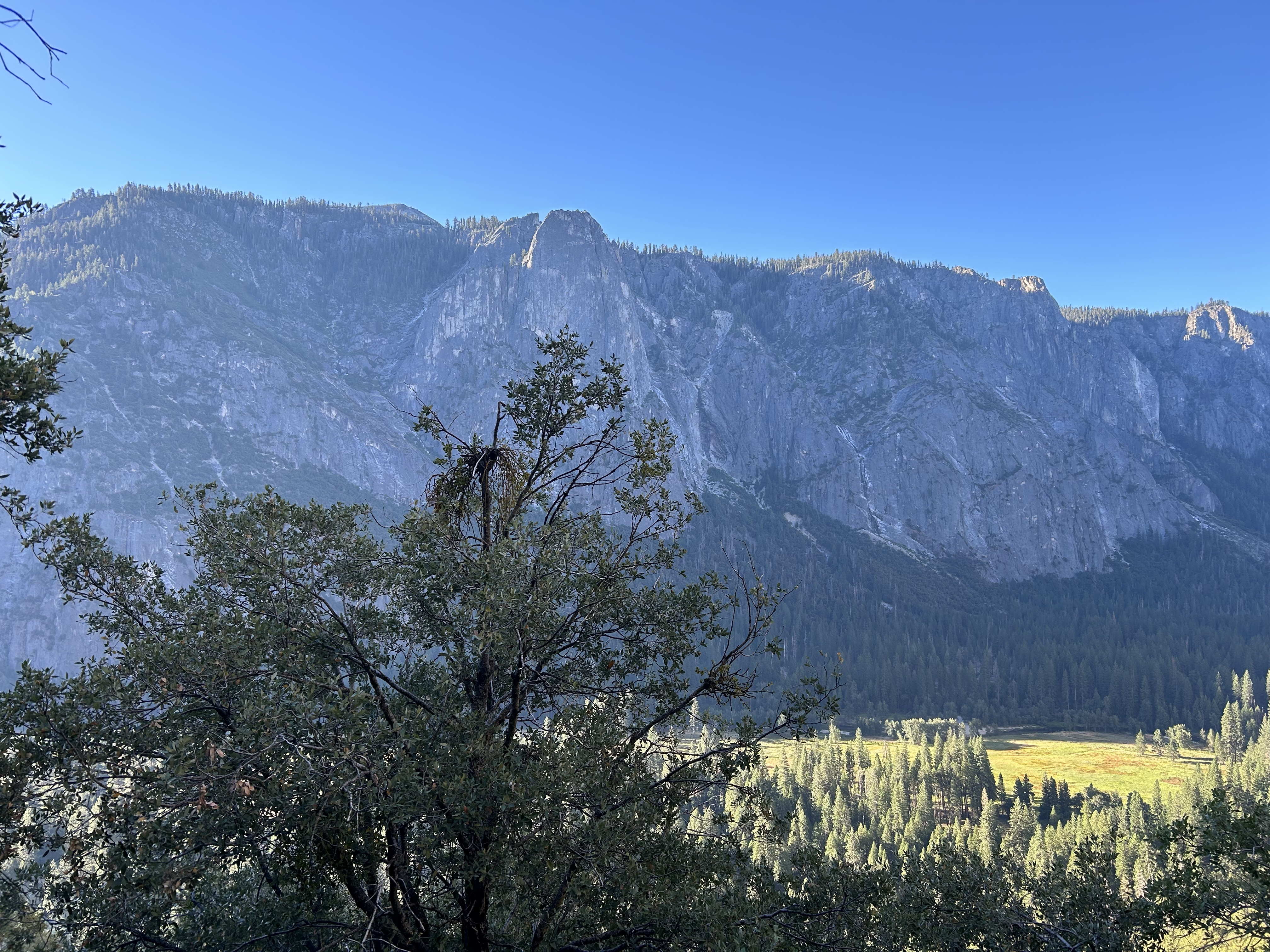
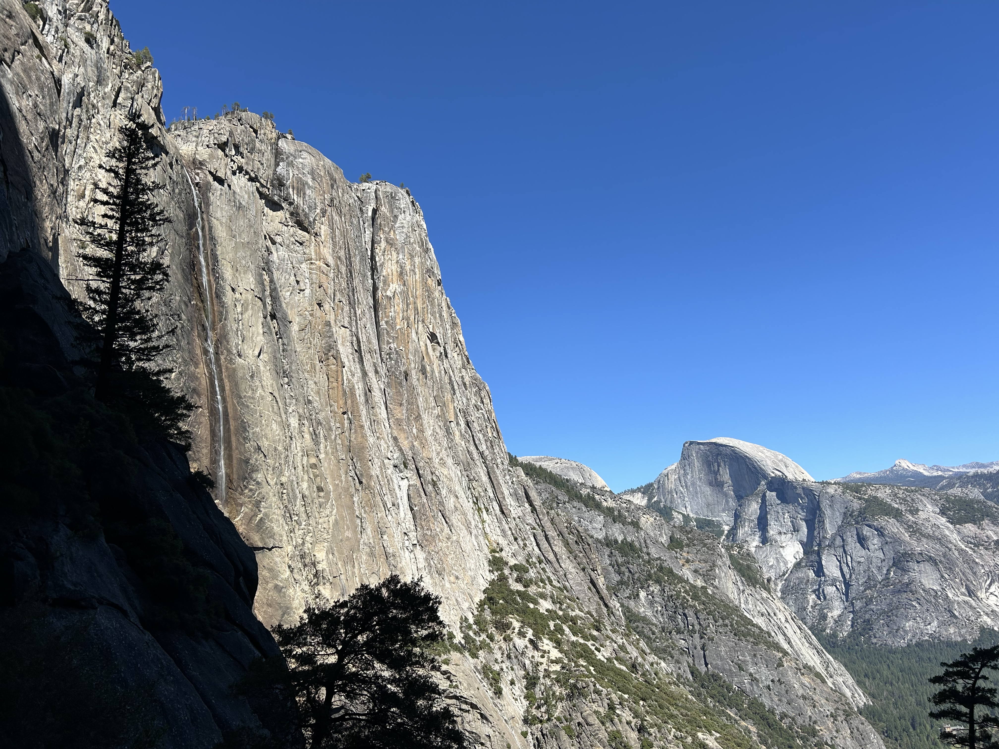
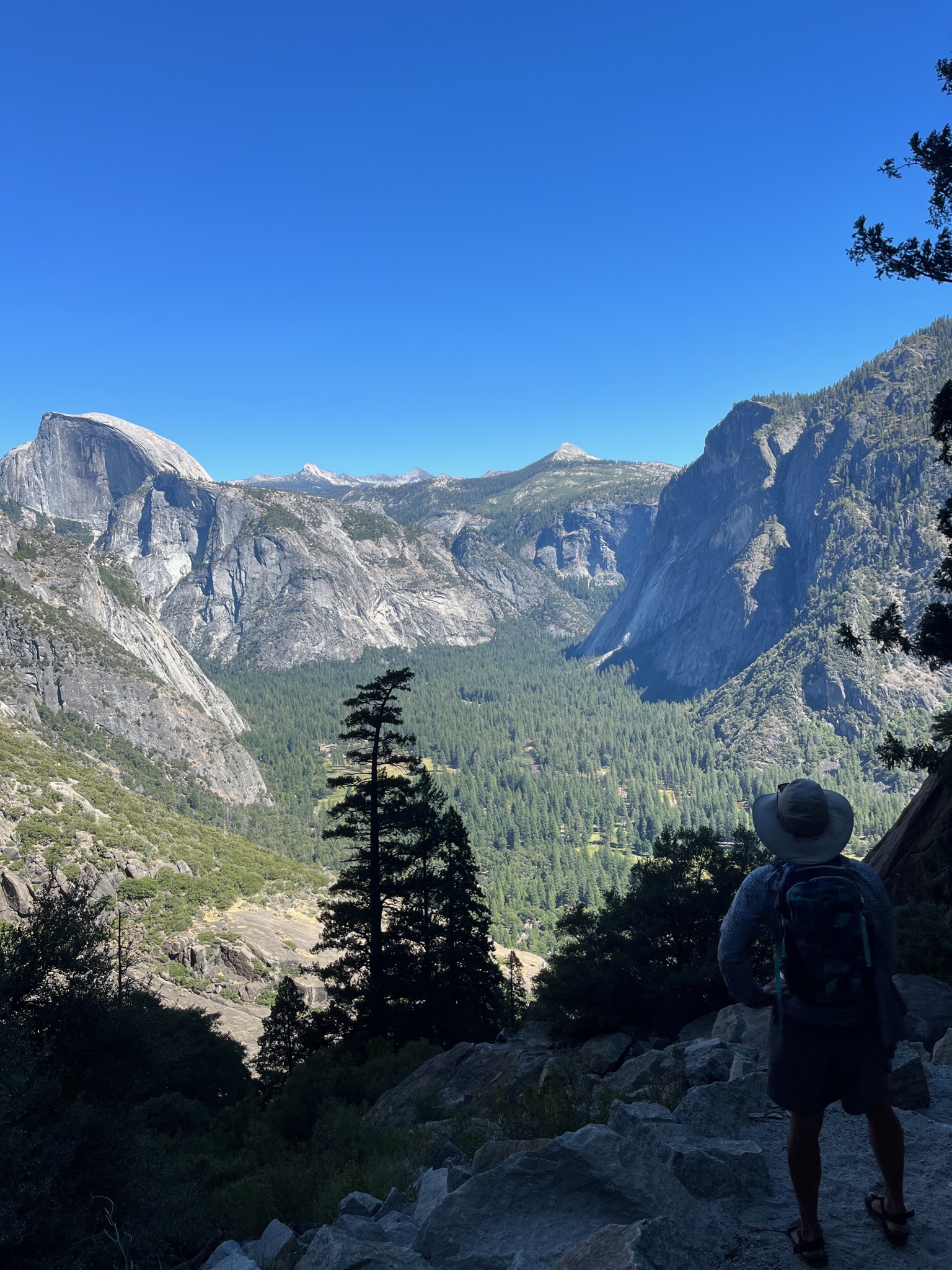
Briefly stopped at Columbia Rock, just above the timberline and what a sight! During this entire trip, we were admiring views of Half Dome in so many angles. There were a couple of trickling streams along the way, enough for a splash and to get the scruff damp. Also made various mental notes of how much cell signal we had at different points. A bar here, two bars there. A little downhill stretch and another series of gnarly, steep switchbacks leading up to the top of the waterfall.


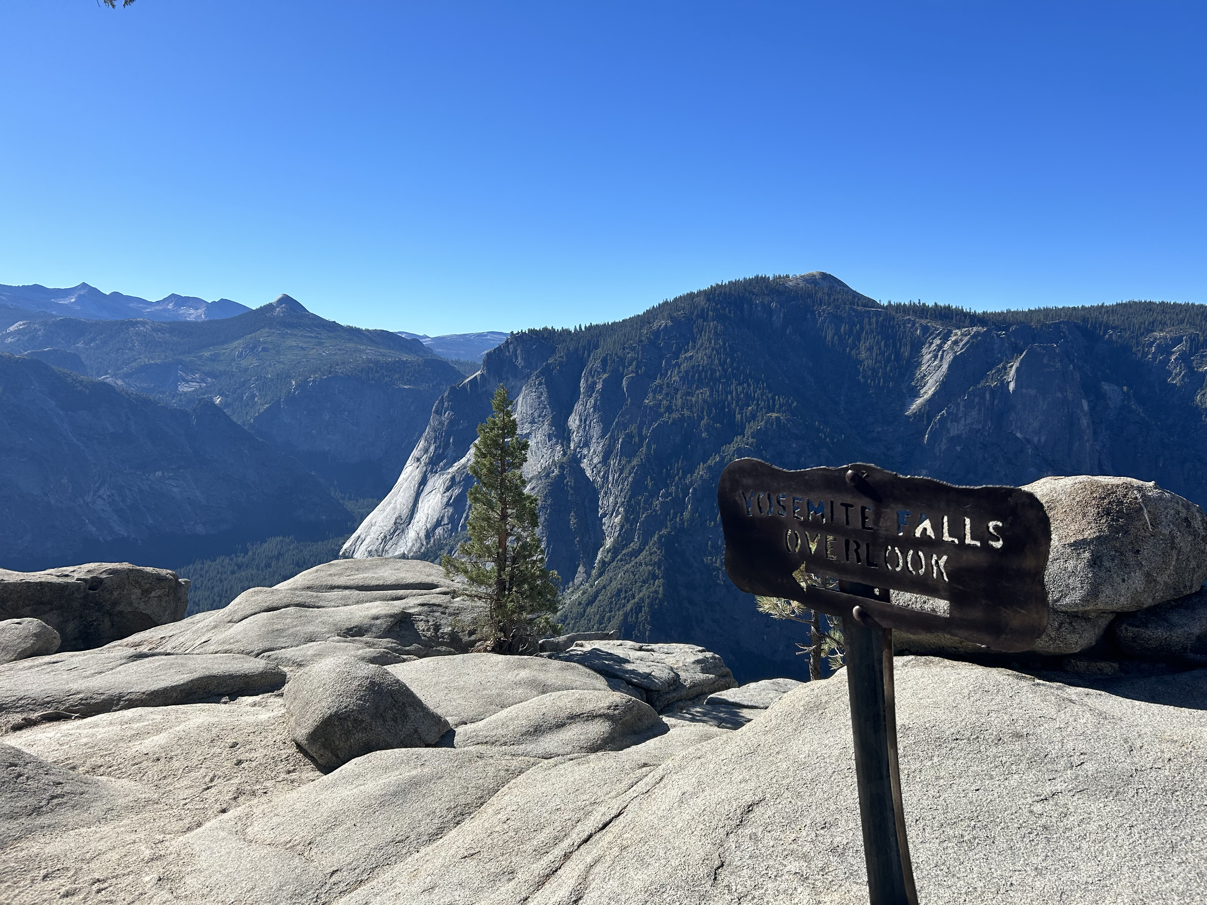
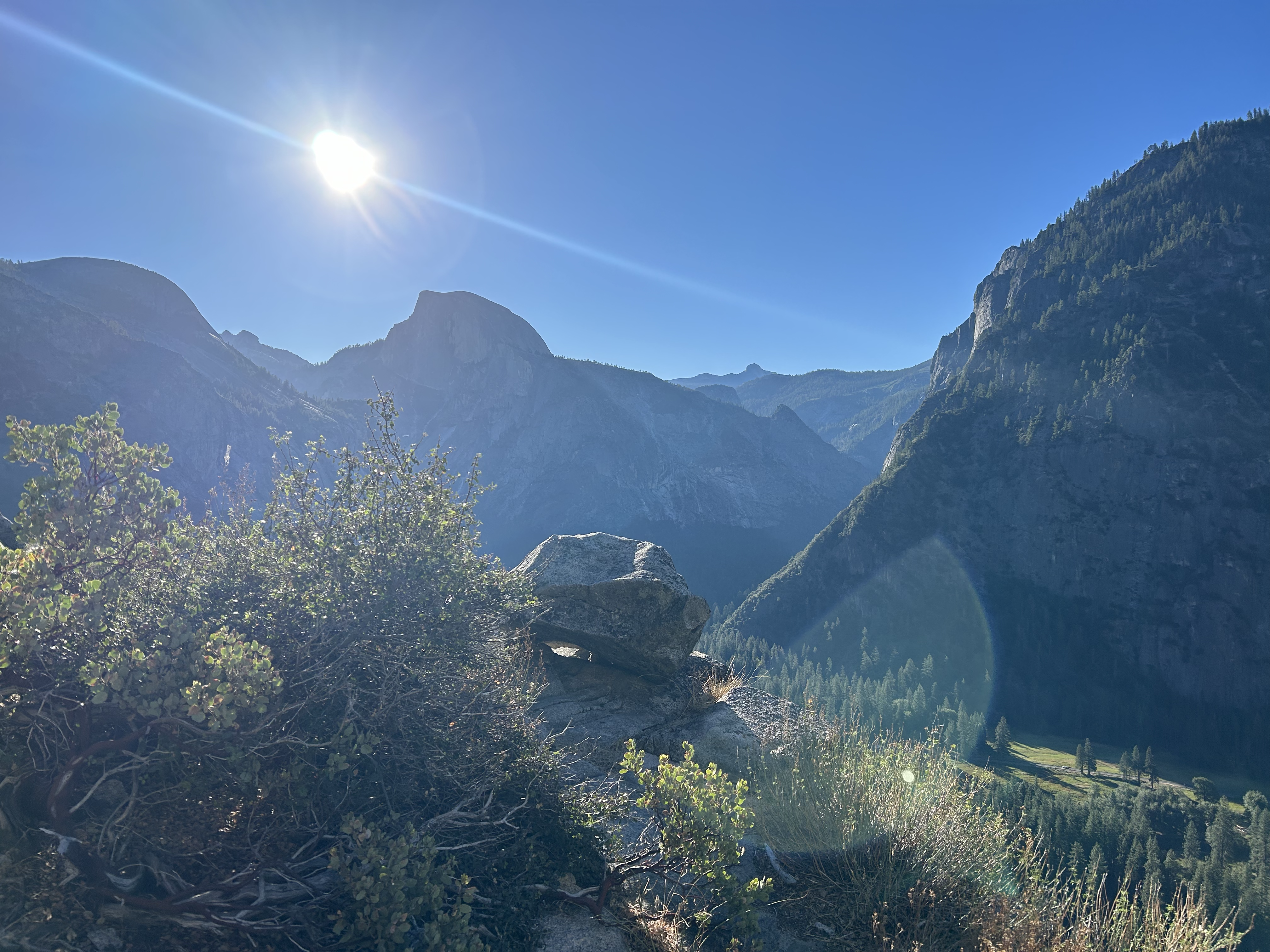
Made it to the top of Upper Yosemite Falls in 1:30! Briefly walked out to the outlook, then realized we needed to go towards Yosemite Point to reach the creek “safely”. What you see above is the very top of the falls, so dipping there means risking a 2,700ft drop! 😱 We filtered water from the creek, refilled our camel bags, stayed a bit to soak up the views and headed out.
The Traverse
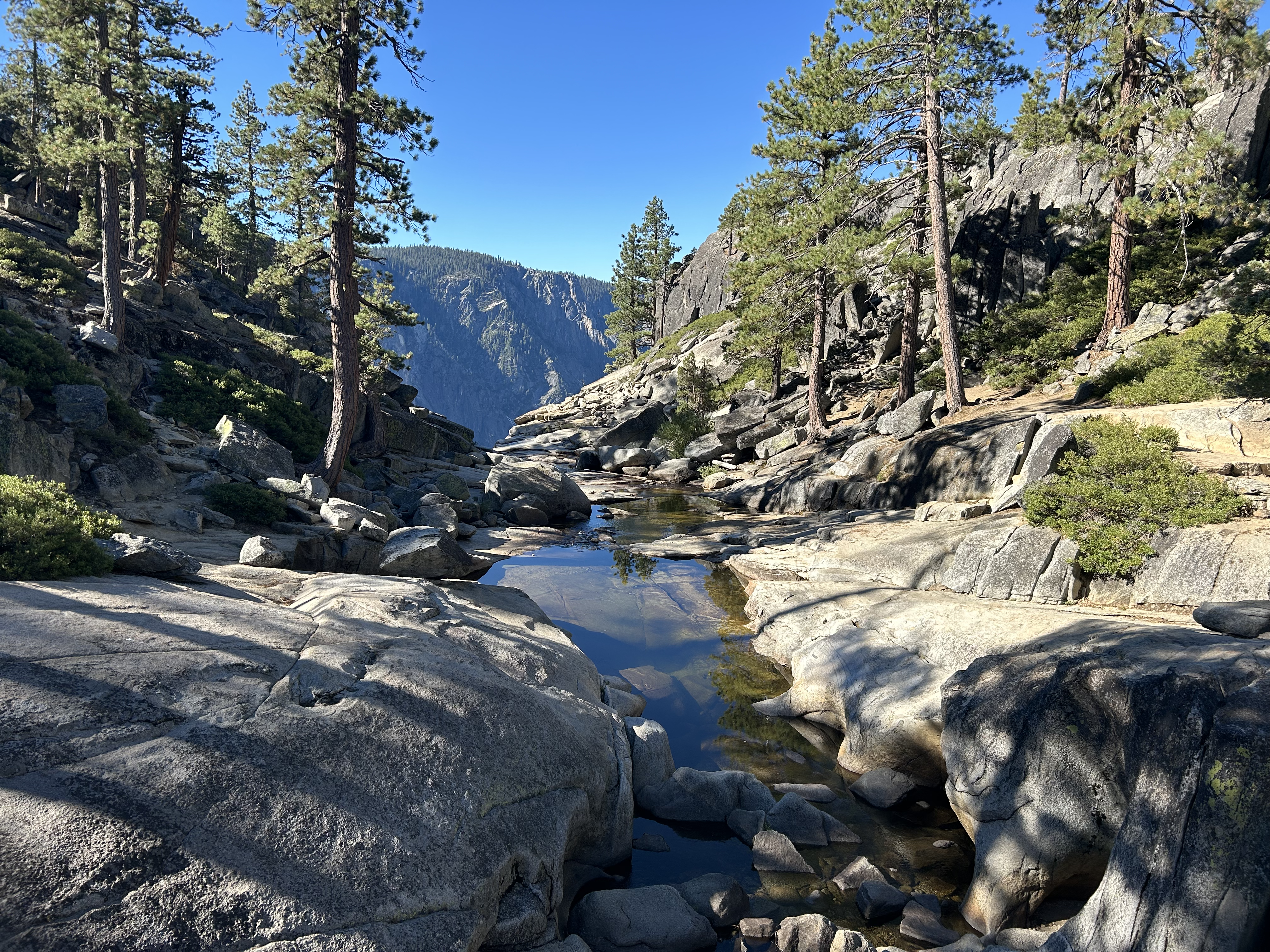
We were surprised how lush and shaded this segment was. The 5 miles leading up to El Capitan summit was a gorgeous single track through pine forests, a grassy, wildflower-filled meadow near Eagle Point, ferns around little creeks, and exposed granite slabs with cairns pointing the way. Many sections here were runnable too. We were up high now and could feel the elevation on the steady climb up.


Talked to a backpacking couple who told us there was a little flowing trickle 0.75 miles from the El Capitan summit. The icy water was such a welcome as it was starting to warm up a bit. Drenched the scruffs, doused ourselves with water and onwards and upwards, still feeling pretty solid.


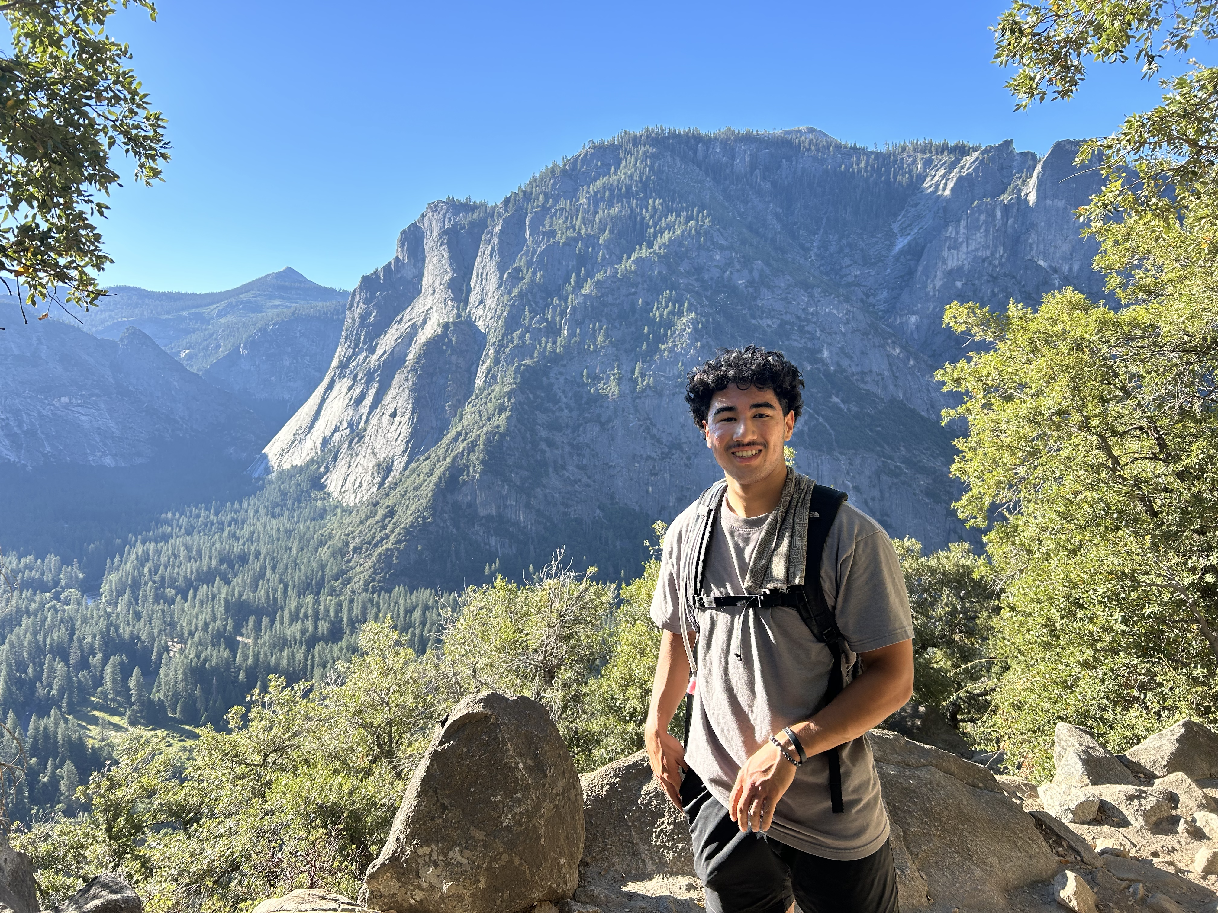
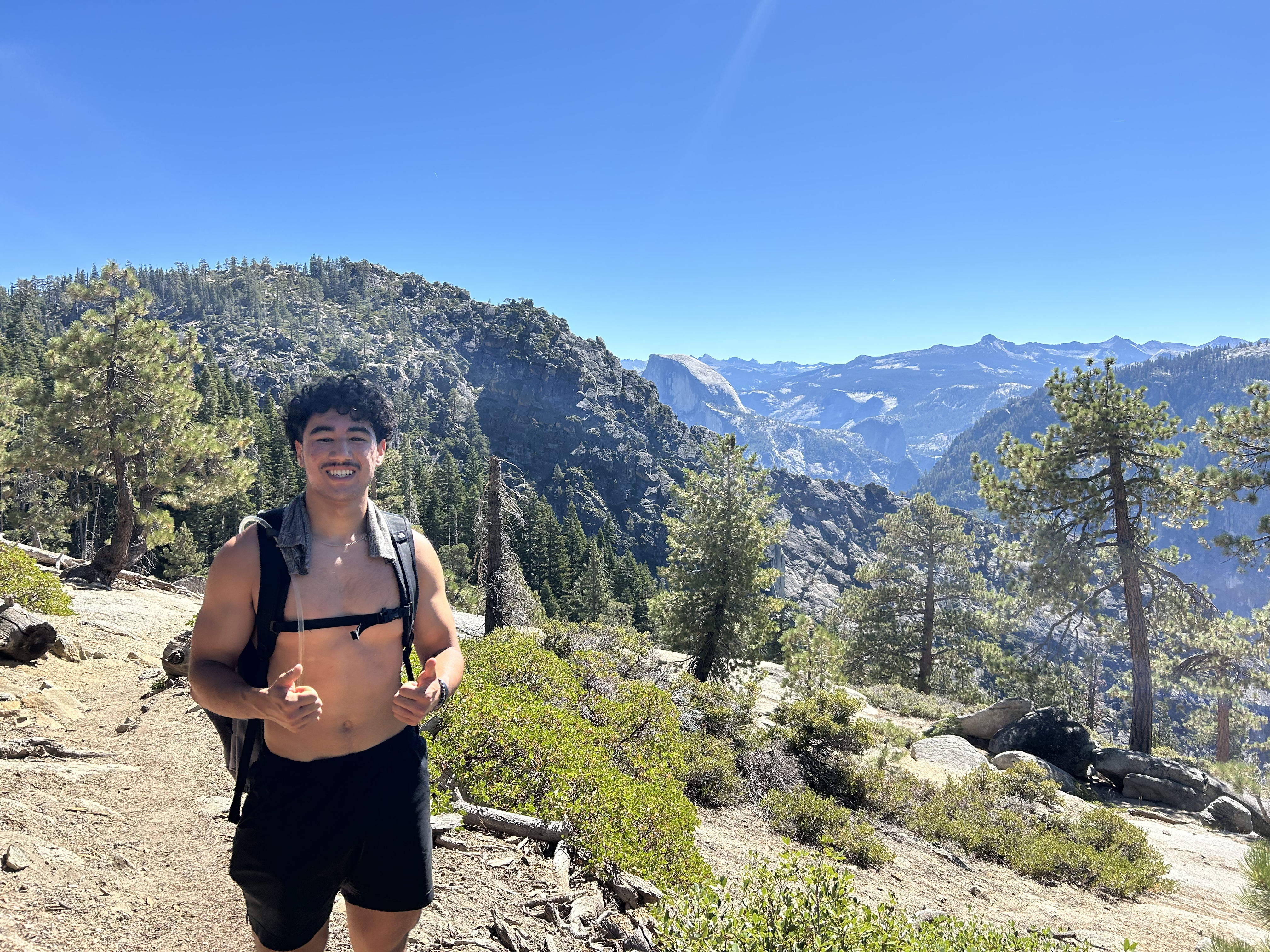
After traversing across the granite slab, I took off on a little jog to get to the summit of El Capitan. Just incredible, both the feeling of being up there and the surrounding vistas.

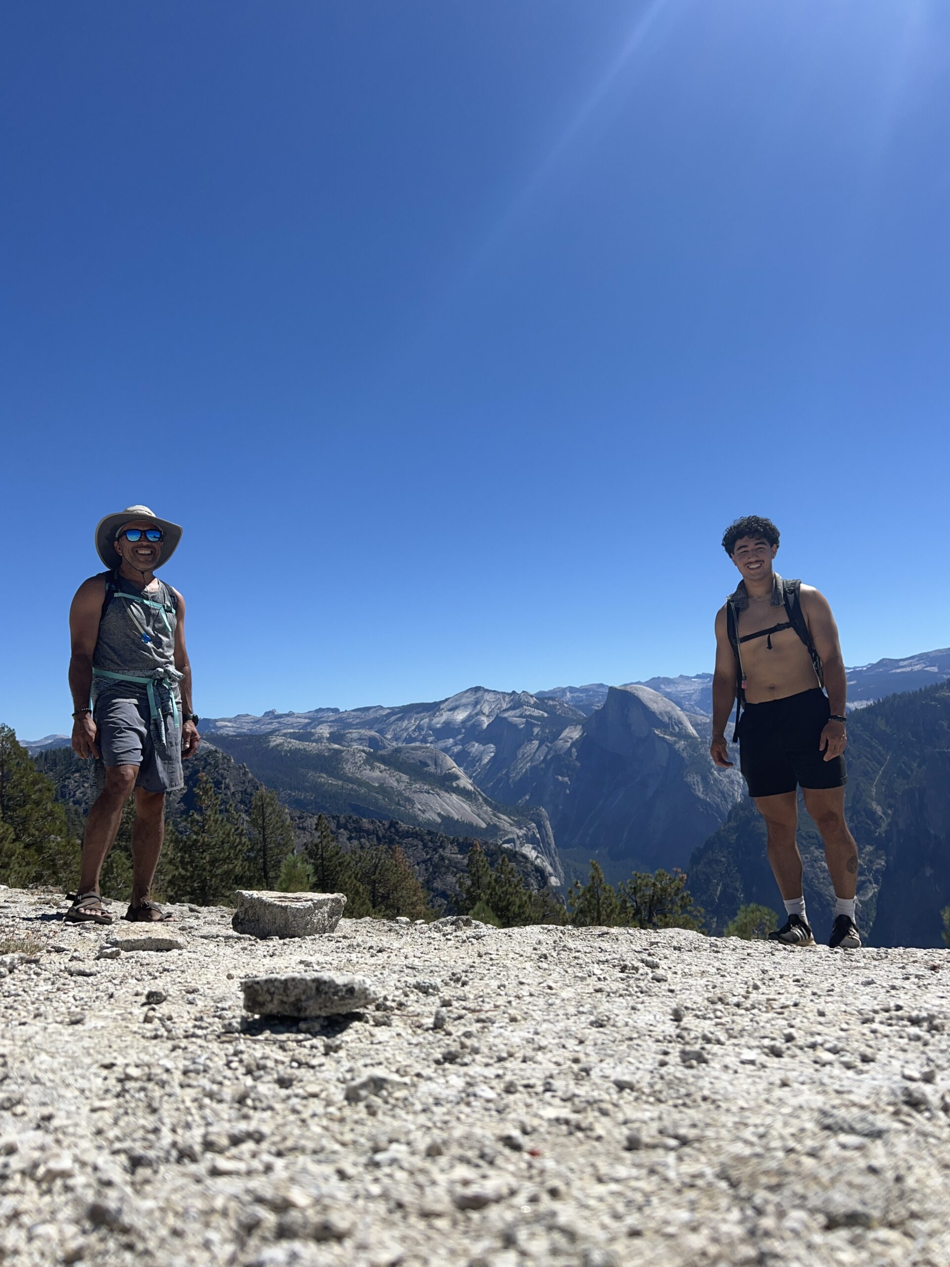

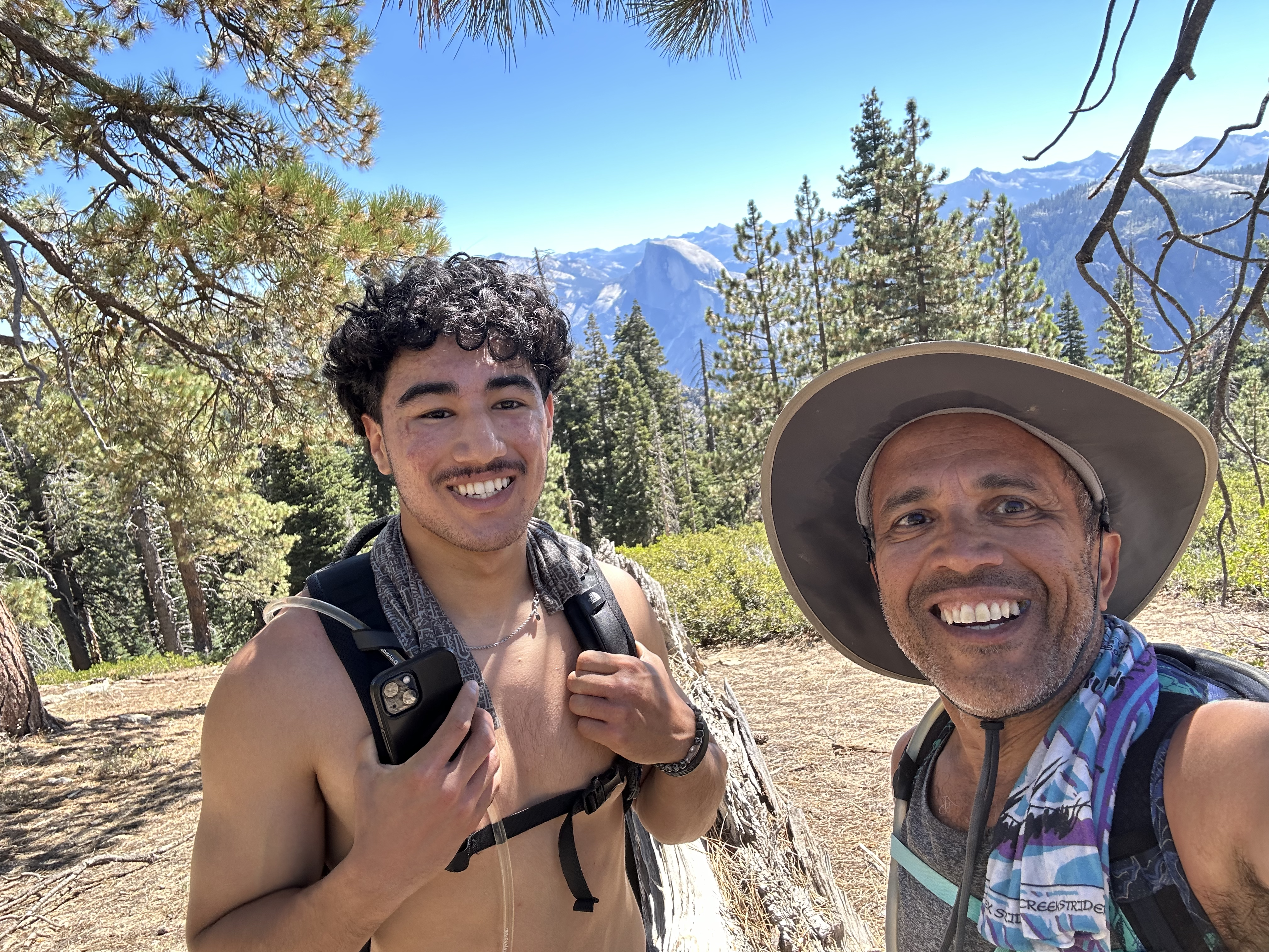
The summit is more like a dome where you can’t really see the precipice until you walk, perhaps half a mile, down towards the edge. And it’s a long climb back out. We found shade under a tree, broke for lunch, relishing what we had just done! And of course, Navin does his classic summit backflip with a backdrop of Clouds Rest and Half Dome. Epic. Our last day hike to Clouds Rest was almost 5 years ago to the week!


The return trip was just a steady push back with a detour to Eagle Point. We got to slow jog on many downhill sections and eventually got to the top of Upper Yosemite Falls. There were more people there now, but we took our time with dips in the icy water, snacking on a few things, filtering and refilling the water. Surprisingly, we were both feeling pretty good and as Navin joked, it was “old” and trained balancing out the young and fit. Almost 16 miles in and another 4 to go.

The Descent
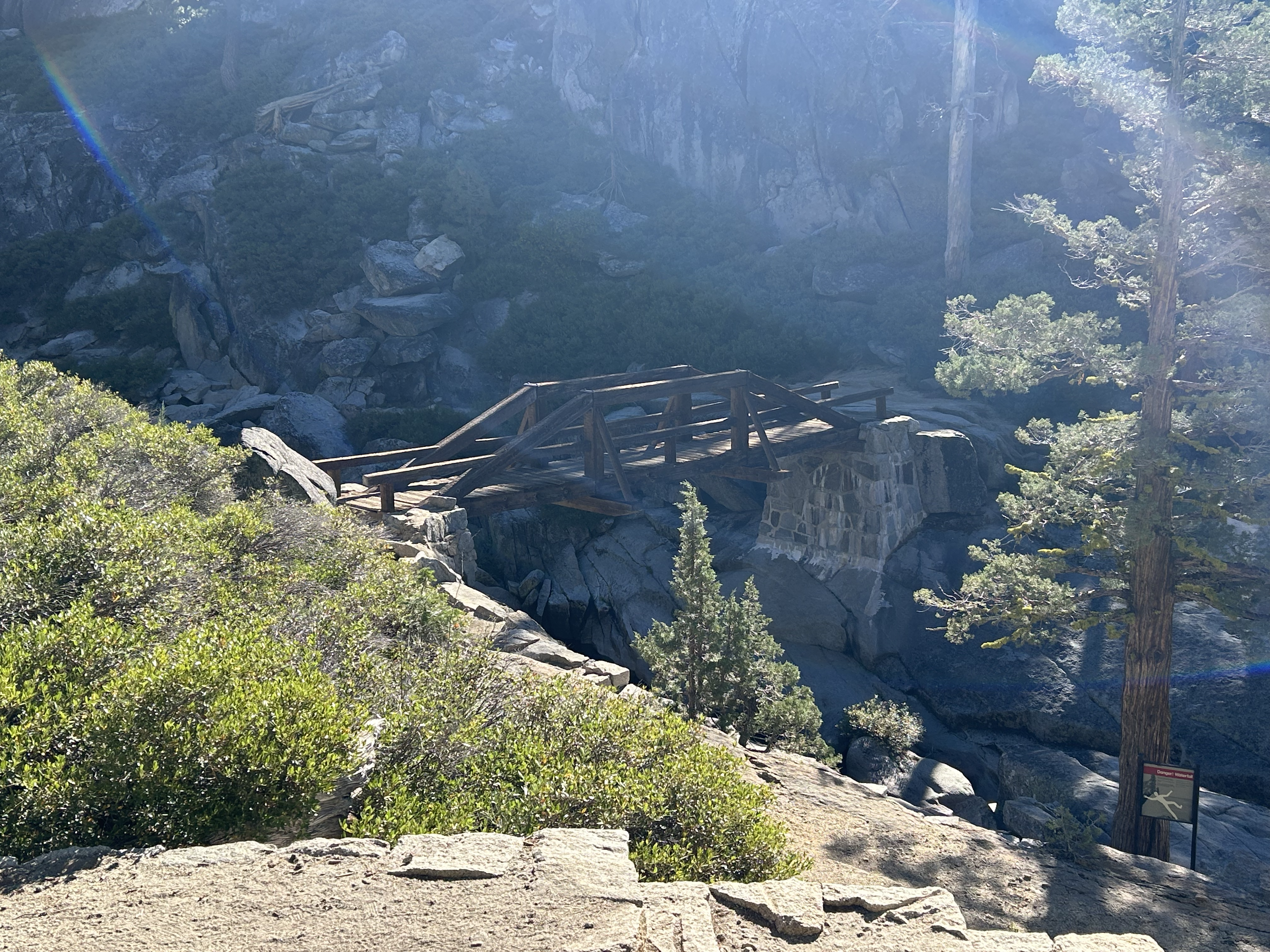
The sun was out now and we could feel the heat, but luckily the trail heading down was largely shaded with a huge slab of granite casting its shadow across. The hardest part of the entire trip was this last descent.
Polished granite steps and rocks constantly reminding us of the slip hazard, especially with tired legs. We were head down, focused, looking for lines for secure foot placement the whole way down. The gnats were out in full force too and they had a knack of aiming for the eye lashes just before each foot placement! 😡 In fact, we had to stop a few times to stretch out our sore necks, more so than knees or ankles!
After what seemed like a million switchbacks, we finally made it back to the car after 20 miles, 5,100ft of climbing and 9 hours of being out there (6:30 moving time). From what started off as just an inkling of an idea to actually pulling it off impromptu, I’d say that was quite the adventure. Huge gracias to Kammy for supporting this insane idea and being there for us! 🥰 While we were out there, she had an amazing time in the valley too – exploring the museum, the native village and getting a guided tour with a ranger.
Remember our concern if we could stay in touch during the whole hike? Well, turns out the best place in Yosemite for 5-bar cell signal reception is at the top of El Capitan! 😜
Absolutely N.O. spam. No more than two emails each week. Learn about injury-free running, race reports, new trail routes, awesome recipes and amazing interviews.