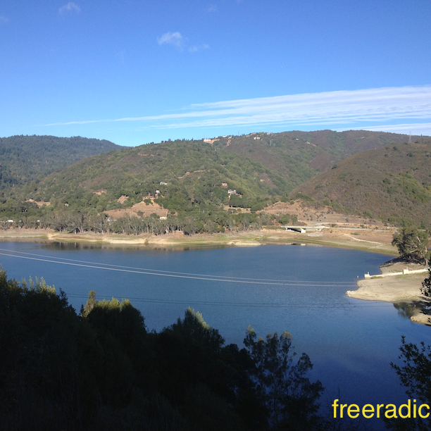
According to the Sierra Azul Open Space Preserve’s website, this is the district’s largest preserve, overlooking the town of Los Gatos and encompassing over 18,000 acres of mostly rugged and steep terrain. Huh, keyword is steep. Last time around, I was at the nearby Almaden Quicksilver County Park which uses the Hicks Road entrance as a connector to the Sierra Azul open space. There are a few different ways of getting into this open space, with Hicks Road entrance and Lexington Reservoir entrance being the two common ones. I chose the latter, partly because I had never been around the reservoir.
Sierra Azul
Going south on Highway 17 from Los Gatos, make a right on Bear Creek road and go over the freeway. Hop back on the freeway for 0.4 miles and take the Alma Bridge Road exit. This loops around the dam to the parking lot that leads to the boat launch. Will cost you $6 for the day pass, but parking is very limited next to the trail heads. This figure-8 route through the major trails on the Sierra Azul was a monster run. Close to 14-miles with a total elevation gain of about 3,200 feet. And it’s not rolling hills either. Straight up to the summit and then back down. I’m saying approximate, because I had a Strava/GPS fail on Kennedy road which is the last part of the big climb up to the summit. The straight line on the route below? Nope, I did not fly.
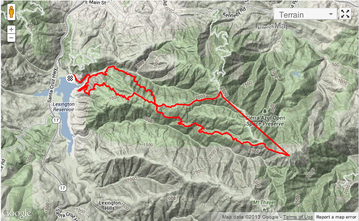
Sierra Azul Route Map
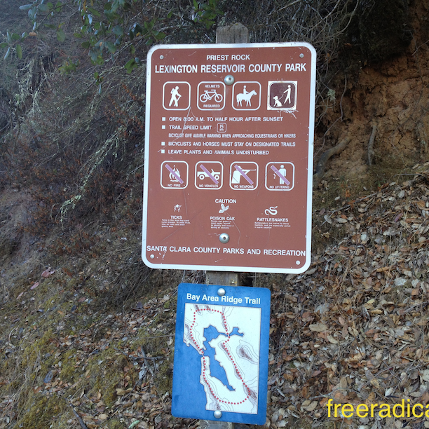
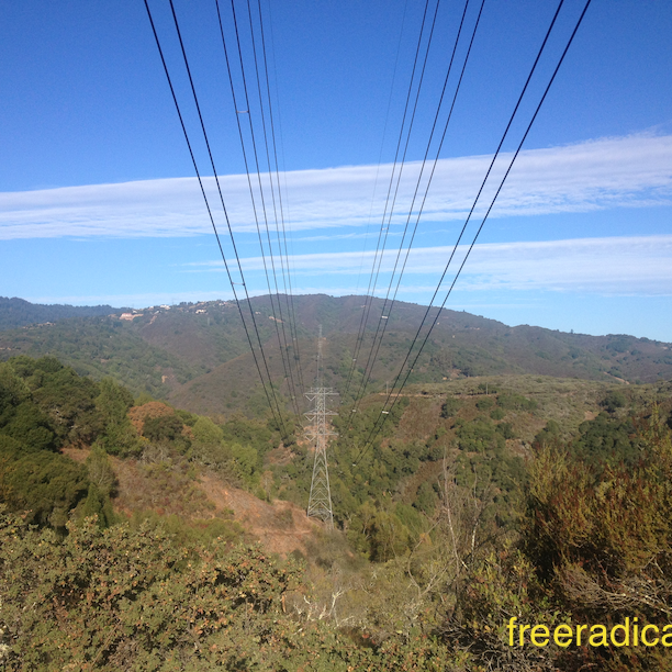
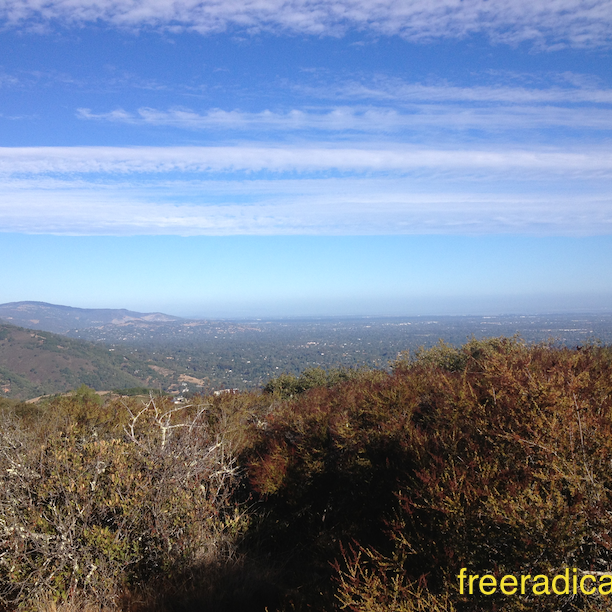
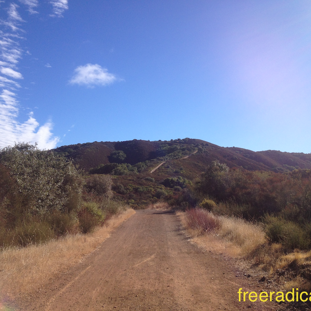
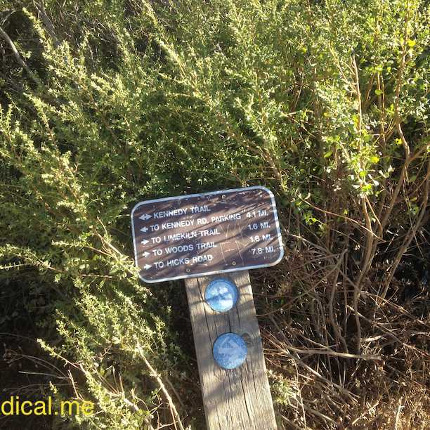
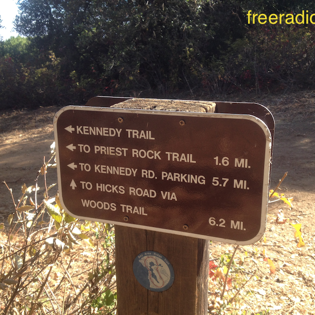
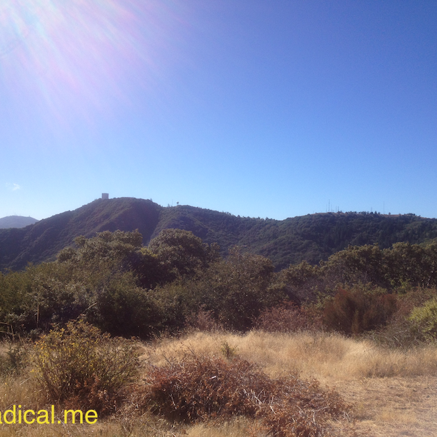
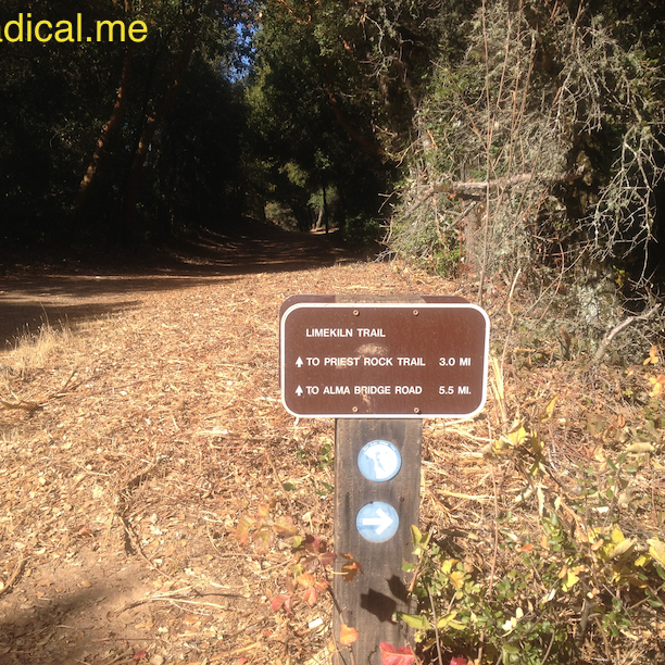
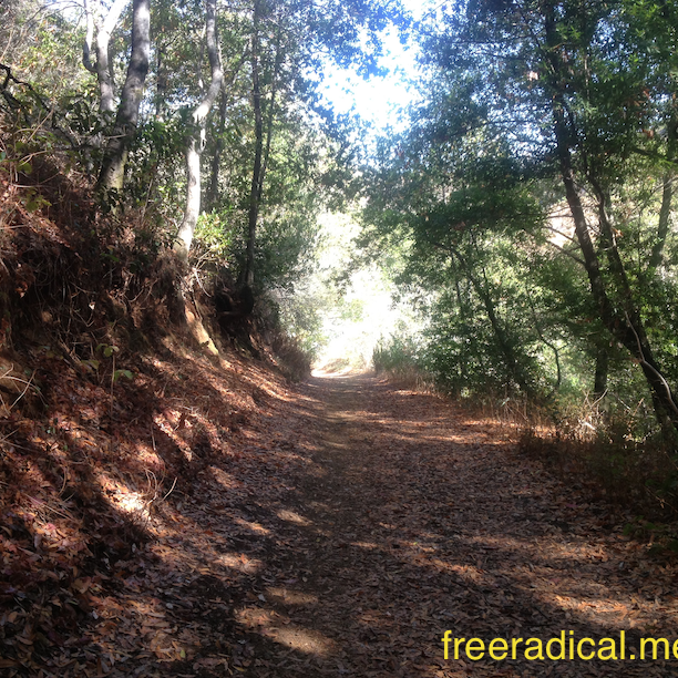
From the parking lot, follow the Alma Bridge Road and the second trail entrance to the left will be the Priest Rock Trail. Be warned that after the first 0.5 mile or so, this run is almost completely exposed. So either get an early start or look for a cooler day to run this trail. There’s only one way on Priest Rock, which is up. Lots of relentless climbing, but spectacular vistas along the way. I’m proud of the fact that I ran most of the way up to the summit. Probably had one break, half way up on the steepest part of this trail before it connects up to Kennedy Road. You need to take Woods Trail for a little bit to get to the summit (under the power lines). Looking at Mt. Umunhum just across the valley was very cool. I backtracked to the car on Limekiln Road which has much more shade, but the trails are rocky and fairly technical. Reminded me very much of the Headwaters Ultra 50K terrain.
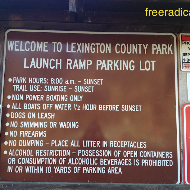 Lexington Launch Ramp Parking Lot
Here’s the route that I took:
- Priest Rock Trail
- Kennedy Road (right)
- Left on Woods Trail to the summit
- Back down on Woods Trail
- Limekiln Trail (left and then all the way to Alma Bridge Road)
Have you run at Sierra Azul? What’s your favorite route?
[sc:follow_me ]