A few weeks ago, I was “surfing” Google Maps looking for regional preserves and open spaces to chart out a 50K and came across Pleasanton Ridge Regional Park. It’s such a gem of park, but hidden in plain sight. When you drive across Hwy 680, all of the 9,000 acres of ridge trails are right there and yet I’ve never paid attention to it. I always thought these were private lands. After a scouting run, decided to chart out a course here. Here’s my Strava activity:
Pleasanton Ridge Regional Park
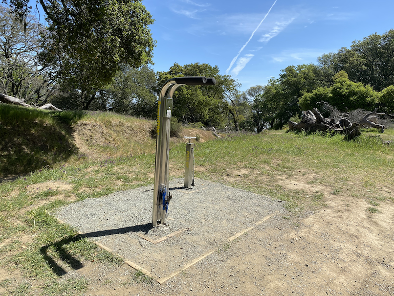
One of the things I noticed during my scouting run here was that there were both water fountains and bike fixing stations on the ridge! How cool is that? My route made good use of these water stations, especially after mile 20. The ranger that I talked to last week told me these were turned off during Covid, so I had my mini Sawyer with me, but didn’t really need it.
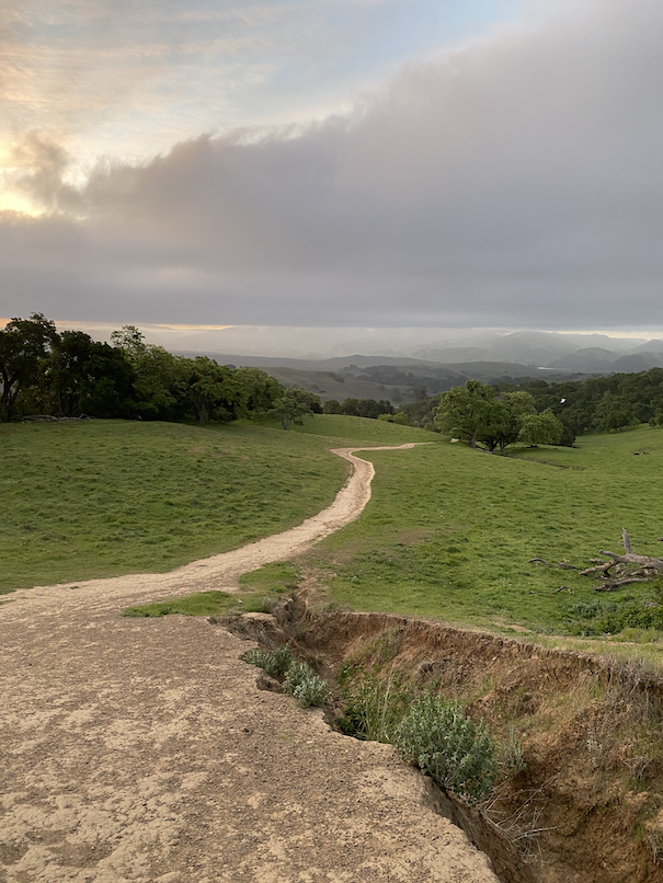

At the Foothill Staging Area, the parking lot opens at 8am, but there’s a smaller parking lot outside the gate for the early risers. So got there around 6:15am and headed out before the sunrise.
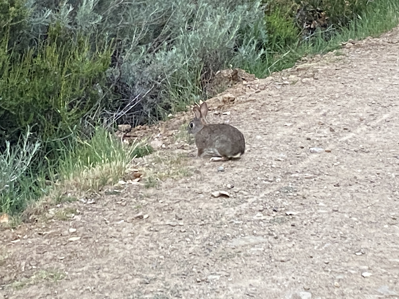
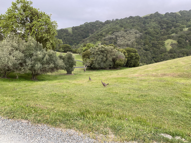
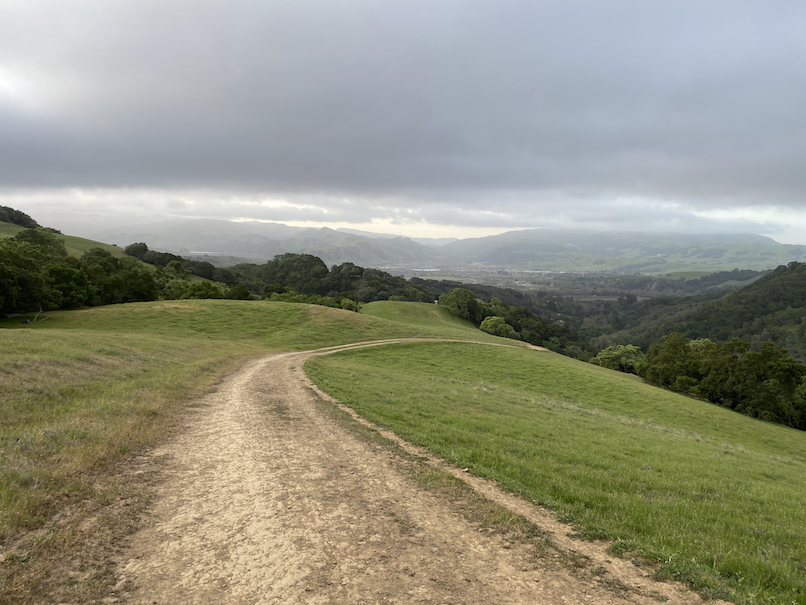
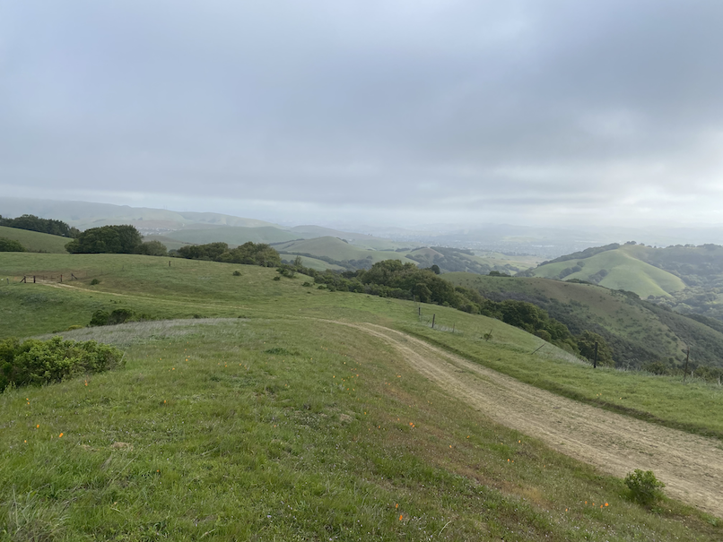
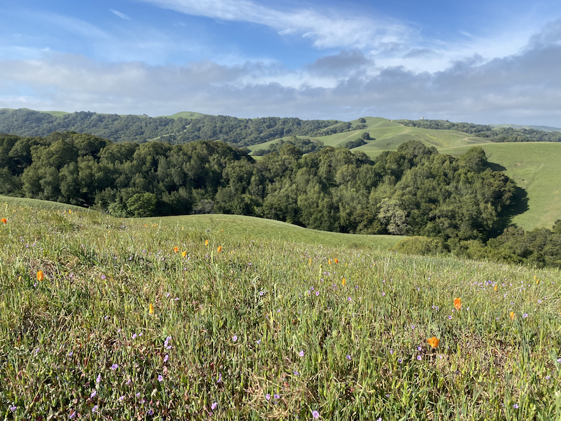
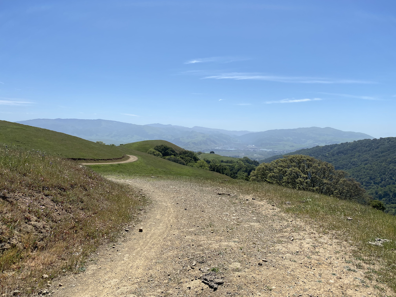
The course took me to the southern most tip of the park and then followed the Thermalito Trail up, hugging the western edge of the park. Some turkeys, deer, a bunny and lots of birds chirping. No snorting boars for a change!
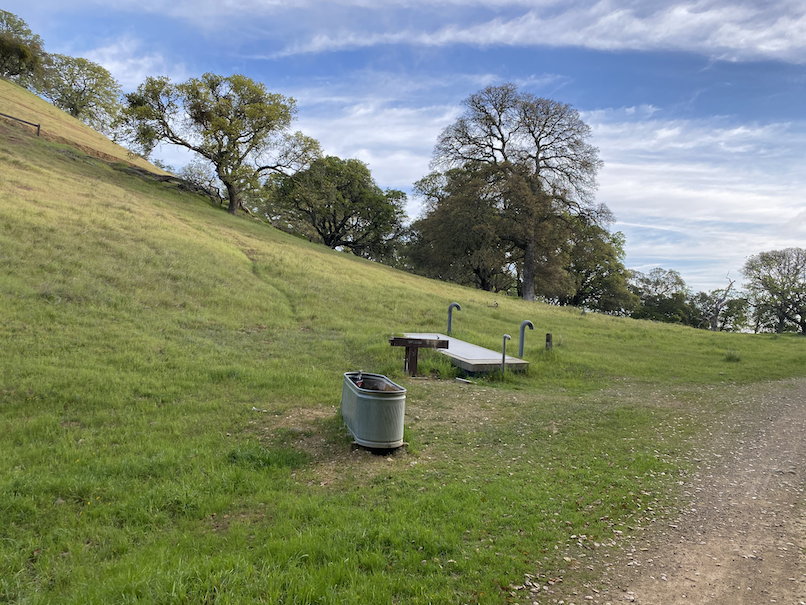
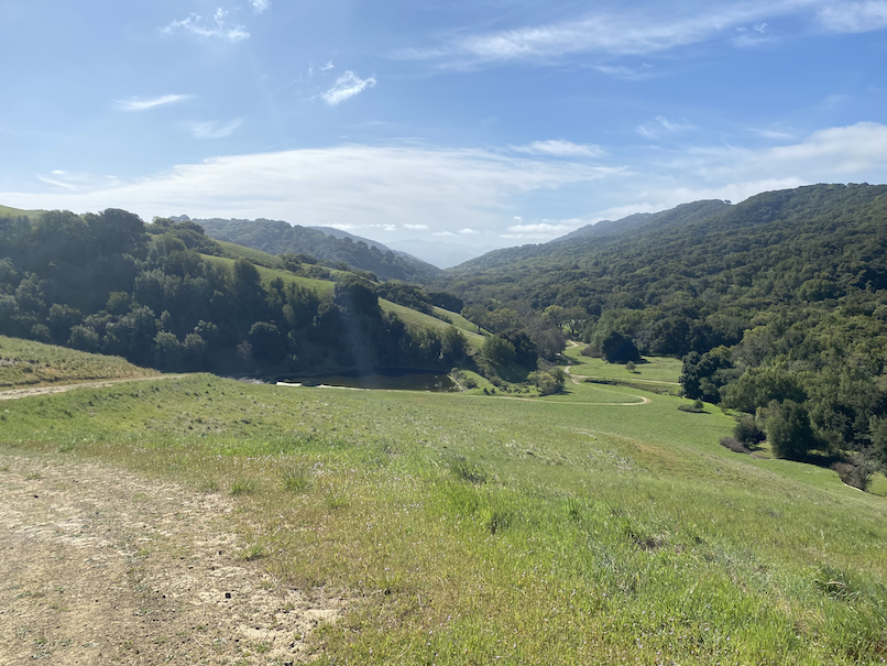
At the intersection of Thermalito Trail and the Ridgeline Trail, found this trough and the water fountain. Tested the fountain and it was good to go. I would pass this on the way back to the start line.
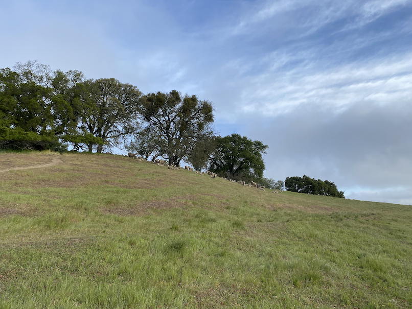
One more fountain at the start of the Sinbad Creek Trail (and it worked too!), saw the sheep grazing up on that hill, descended down from the ridge towards the canyon. Not a soul in sight so far!
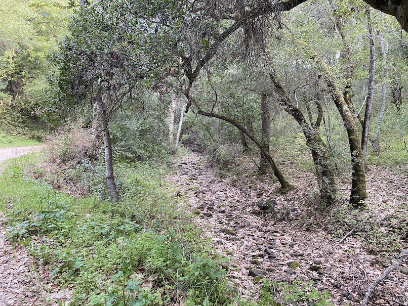
The Sinbad Creek Trail was pretty mellow, just following the dry creek towards the northern end of the park, until it connected up with Cowing Trail. Right around mile 10, sent a message to my wife on my newly acquired Garmin inReach Mini. This has been such a confident booster on these solo runs far from civilization or cell towers. Just knowing that I can leave breadcrumbs behind and in case of an emergency I can tap into the International Emergency Response Coordination Center. I know it’s an insurance, but definitely worth on these adventures.
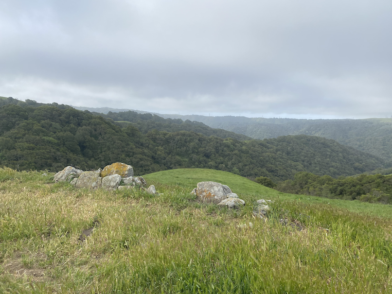
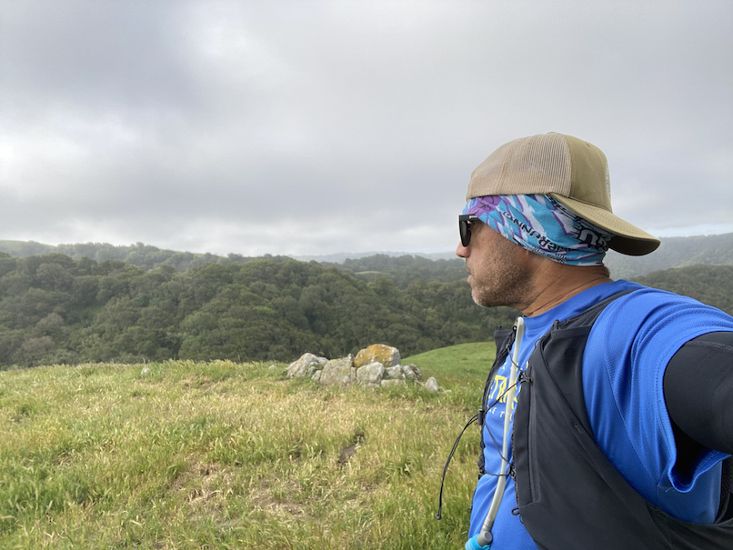
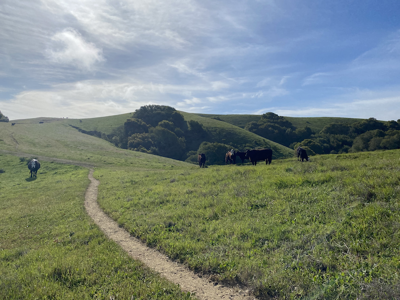
My original plan was to either drop down into Cooks Canyon or do an out and back on Sunol Ridge trail, but both of them were too overgrown and cordoned off. So explored a faint path at the end of Cowing Trail leading to a rocky outcrop and then headed back. There were a bunch of cows right on the trail with mama cows and calf’s. We kinda all stood there for some time and I finally decided to give them plenty of space and skirted around them through the trees. *whew*.
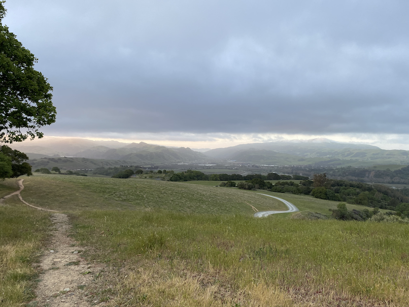
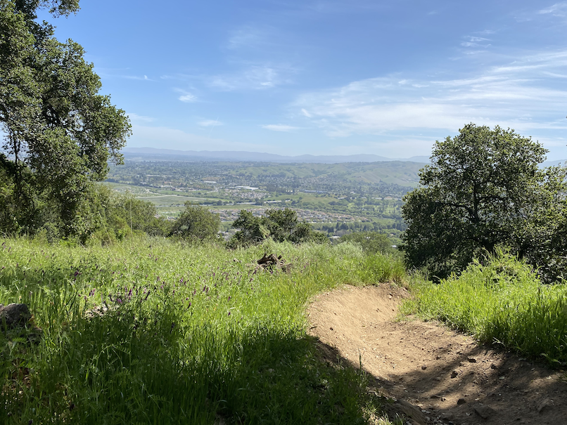
Did an out and back on North Ridge Trail and then started to head south again. The water fountain (#33) at the Loop Trail intersection was much needed! Headed down Shady Creek Trail, then Bay Leaf with an out-and-back on Schuhart Trail. When I got back to the Ridgeline Trail, I thought much of the climbing was already done. Well, surprise, surprise. I dropped down into Front 9 trail (part of the Augustine Bernal Park) and it was crazy steep and all gravel. Every step down, I’m like, I’m going to have to climb out of this again! The Valley View Trail was just so awesome.
The home stretch was mostly downhill and I made it back to the car around 6:14. Pleasanton Ridge Regional Park is such a cool park, though I’ve read stories that the mountain bikers “own” this place on the weekend.
Absolutely N.O. spam. No more than two emails each week. Learn about injury-free running, race reports, new trail routes, awesome recipes and amazing interviews.