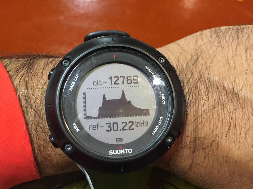
Day two and probably got around 4 or 5 hours of restless sleep. We picked up a new group today, two related families from Mexico city. A fun, boisterous bunch and they would accompany us all the way to Everest Base Camp and back. Lots of driving today. Driving west from Lhasa, we would cross the Khampa-La pass (5,200m) and the Karo-la pass (5,050m) before making our way to Shigatse. This picture of my Suunto at the end of the day captures our drive pretty effectively. Two big passes and back to ~13,000 feet. This was one of the prettiest stretches on the whole trip.
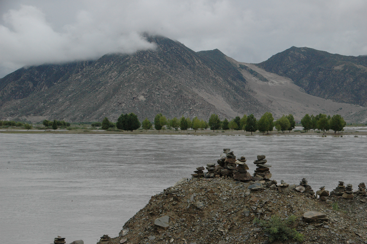
The Brahmaputra
I remember when I was a kid reading about the major rivers in India and it was kinda cool to be driving right along the Brahmaputra, aka Yarlung Tsangpo. This is one of the main (and long) rivers that originate from near Mt. Kailash much further to the west.
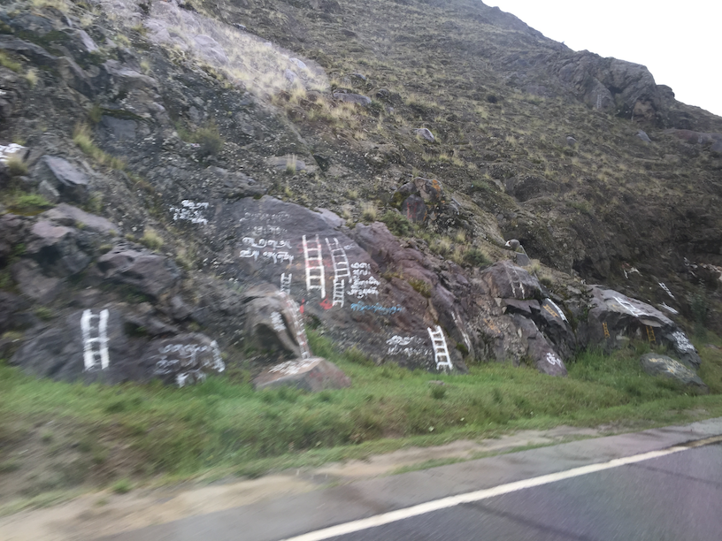
Looks like we were passing through a water burial site that is a Tibetan ritual used to send the spirit of the deceased to the heavens. Technically it’s not a burial, but the ladder signs were everywhere.
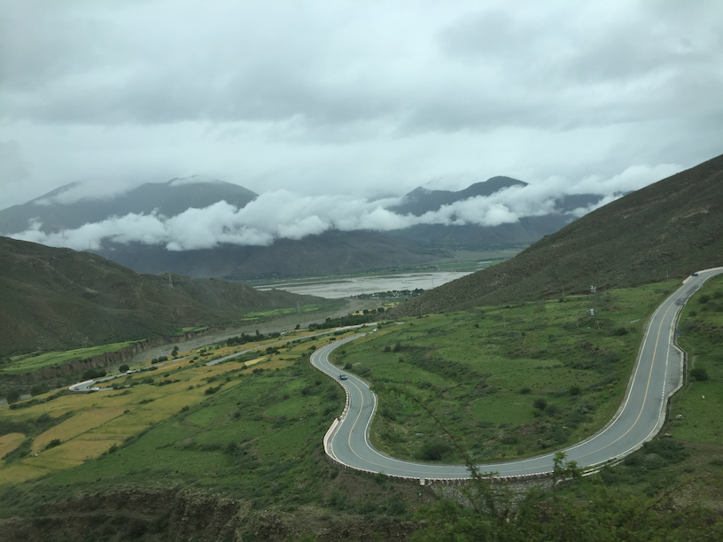
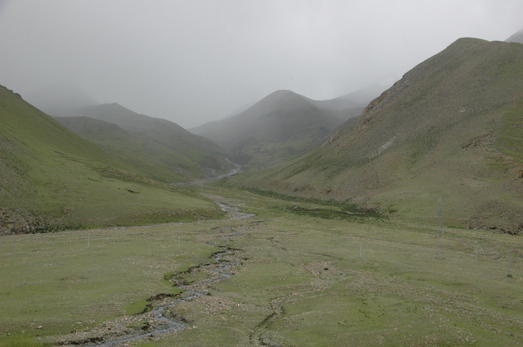
Khampa-La Pass
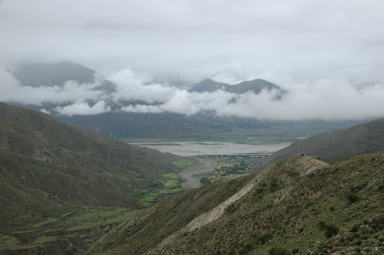
A few hours into the drive, we started passing by quaint and small villages before the climb up to the Khampa-La pass. The view of the valley below us was incredible. While neither my lungs nor my permit would allow me to roam freely across these hills, I had a serious bout of wanderlust. There are SO MUCH mountains here!
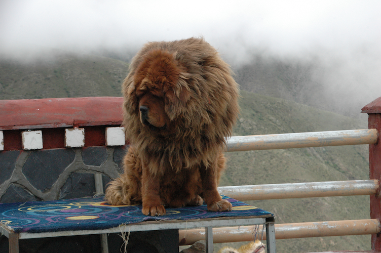
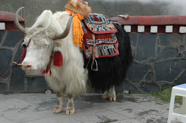
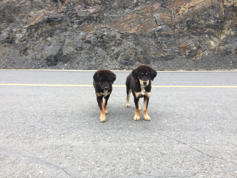
At the top of one of the viewpoints, there were leashed Tibetan mastiff dogs and dressed up Yaks so the tourists can pet them and sit on them (yaks). Was feeling quite sorry for these animals.

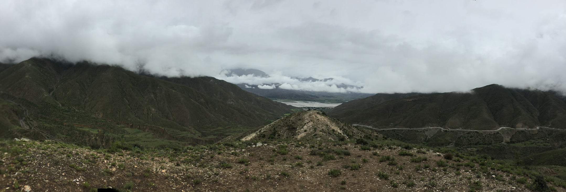
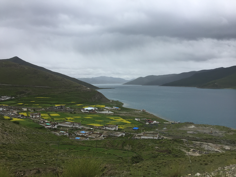
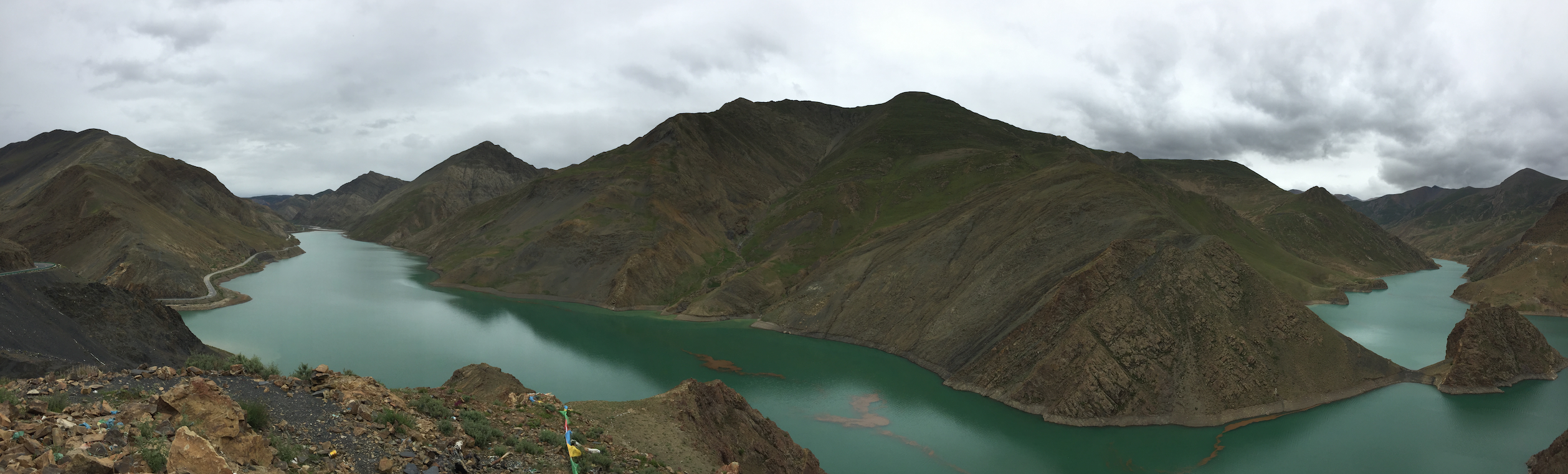
 Yamdrok-tso Lake
From the top of the pass, we really could only see a section of the Yamdrok-tso Lake as this is a monster-sized one. Apparently it takes about 7-days to circumnavigate the lake. As we drove down towards the lake level, we could see a village nestled in a beautiful valley across the lake with lush green barley fields.


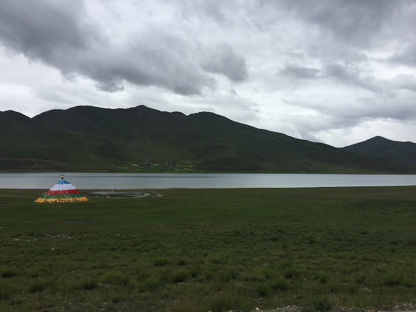 At one point, our tour guide was like, that road to the left goes to Bhutan! And of course, it does. Really does give you a sense for the vastness of this place and how interconnected Tibet really is.
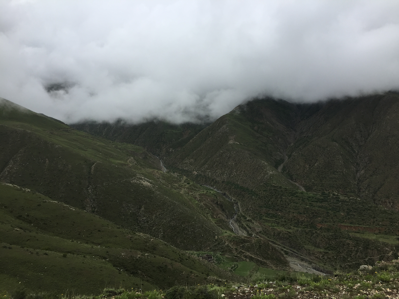
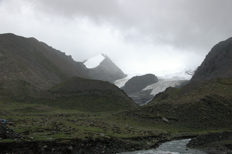
Karo-la Pass and Glacier
This stretch to get the glacier and past that was just simply stunning. Lush green mountains and high passes, prayer flags in the unlikeliest places stretching across treacherous slopes, 1000’s of feet of screes rising past my straining neck. The awe and splendor of these mountains leaves a deep respect and appreciation for mother nature. Unfortunately, climate change melts glaciers whether they are at sea level or at 16,000 feet. The Karo-la glacier is expected to vanish in the next 8 years, even though just 5 years ago, it apparently used to come close to where the road is now.
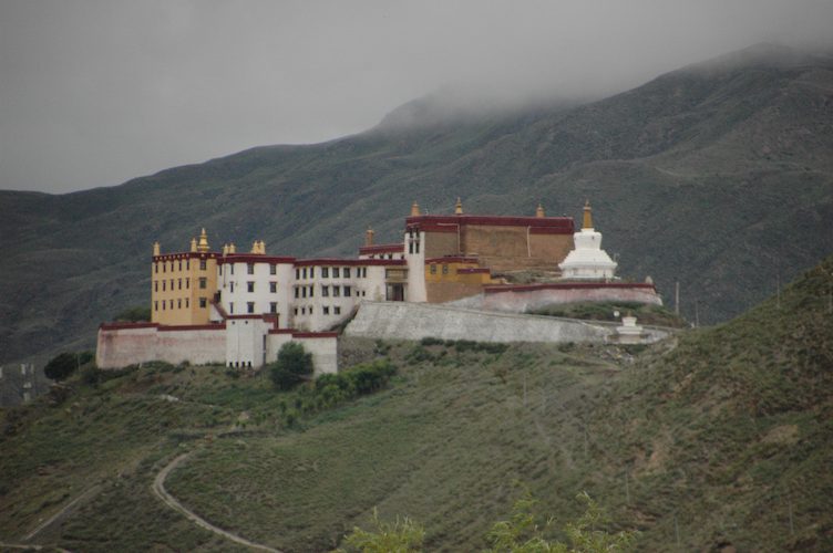
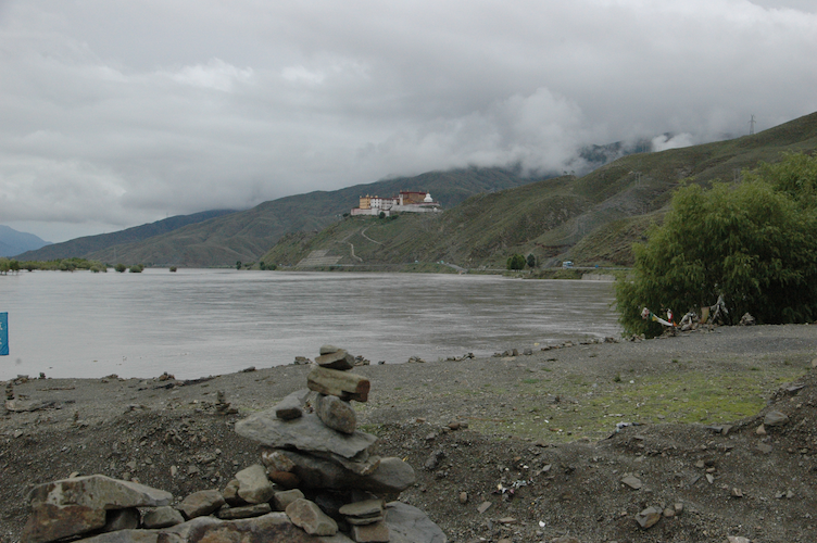
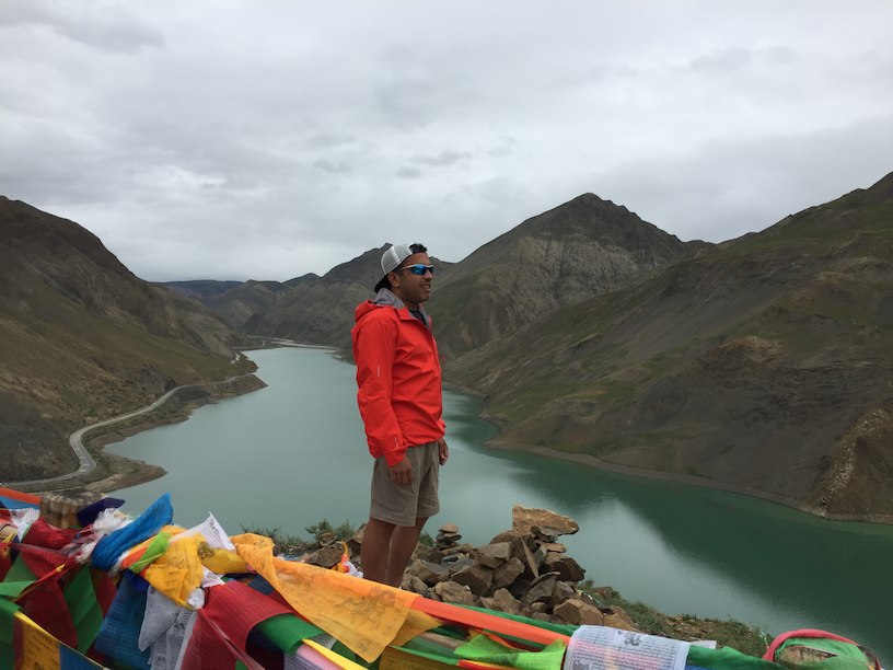
 Manla Reservoir
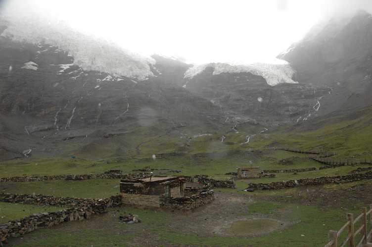
One more scenic stop before getting to Shigatse, the Manla reservoir while absolutely stunning and picturesque, has been raised as a big environmental concern because of what it might doing to the local ecosystem.
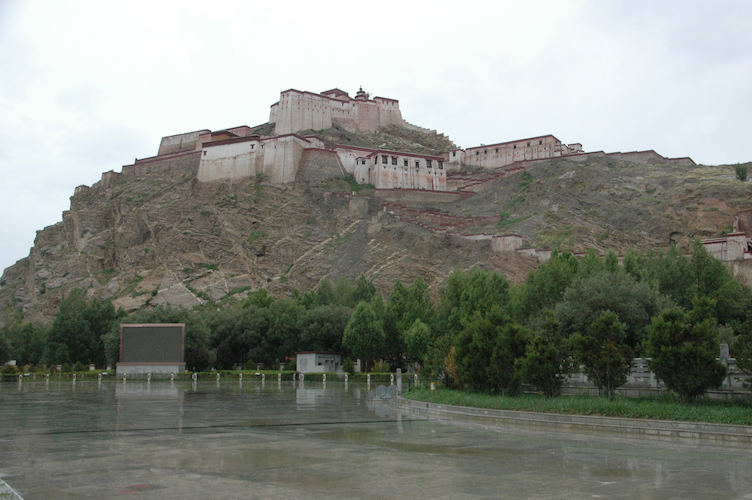
It wasn’t much, but every opportunity I got I was scrambling up the rocks only to top off the 50 yards or so completely winded. Right around Gyantse, we stopped by a barley mill where they use the flour to make Tsampa, a Tibetan staple food made of barley and yak butter tea.
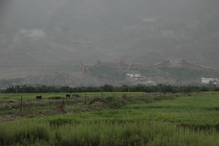 Tomorrow, we head to the Everest Base Camp. With an all-day drizzle and mostly overcast clouds, we were starting to wonder if we were going to get a glimpse of Everest or not. Maybe we’ll get lucky?
Blogs in this Tibet Travelogue series:
- The Logistics
- Aboard the Qinghai-Tibet Train
- Potala Palace and Jokhang
- Lhasa to Shigatse
- Everest Base Camp
Absolutely N.O. spam. No more than two emails each week. Learn about injury-free running, race reports, new trail routes, awesome recipes and amazing interviews.