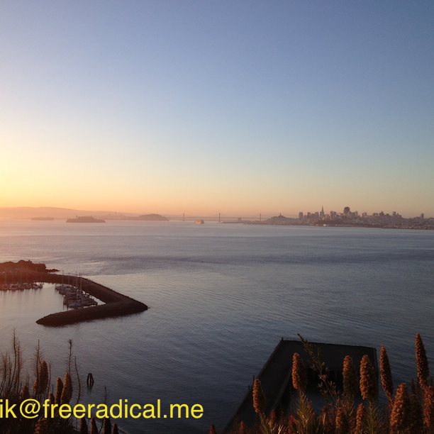
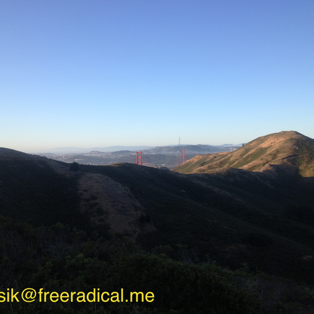
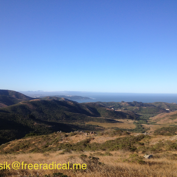
I’ve passed by the Marin Headlands so many times, but never really hiked or ran there. I was at a conference in San Francisco recently and decided to get an early start and head out there to explore. The Bay Area Ridge Trail runs through here and I found this map that takes you from Golden Gate bridge, through the Marin Headlands, to Tennessee Valley. Incidentally, I’ve never seen San Francisco fog-less with no wind around this time of the year! It turned out to be a spectacular 13.5 mile run with an elevation gain of 2,216 ft.
Golden Gate Bridge to Marin Headlands
Having never run there, I virtually flew over the trail the night before with Google Earth and memorized the turns. The hardest part was figuring out if there was a walk way that connected the north-eastern part of the Golden Gate Bridge to the north-west part where the trail head for the Marin Headlands began. Just so you know, you have to go over to the Alexander Avenue exit and go through the underpass to get to the other side.
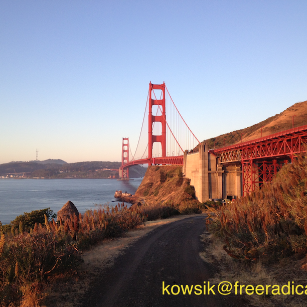
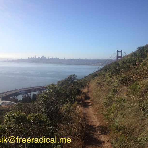
Woke up early am and drove to the Visa Point at the northern end of the Golden Gate Bridge. The sun was just peeking over the hills on the east as I was crossing the bridge. I could tell, it was going to be an awesome run. Made a wrong turn right away and ended up on the service road leading under the bridge. Got an amazing picture though! Backtracked, went under the overpass to see the trail head to Coastal Trail.
 Service Road under Golden Gate Bridge
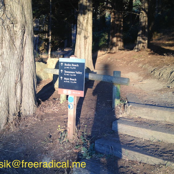
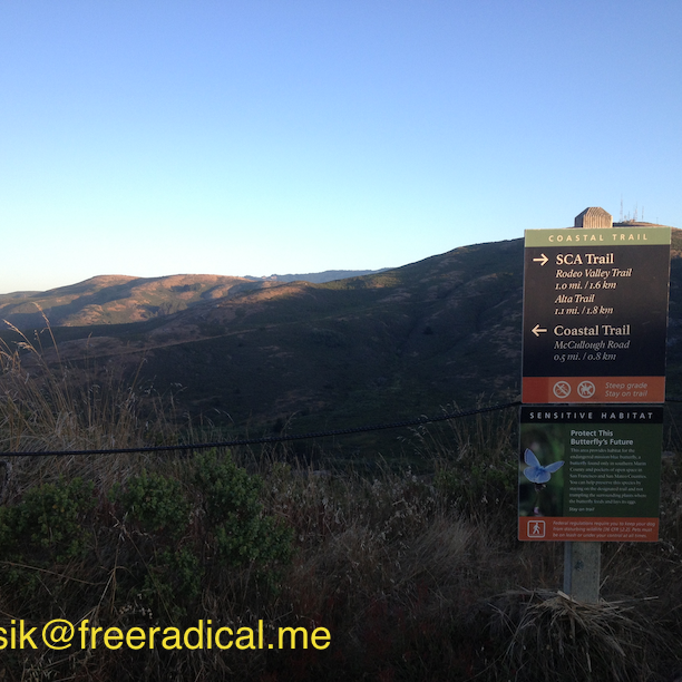
Here’s the route I took for the 13.5 mile trail run.
- Up and away on Coastal Trail
- Right on SCA Trail
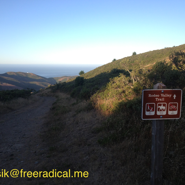
- Left on Rodeo Valley Trail (all downhill)
- Right on Bobcat Trail (all uphill)
- Continue left on Bobcat Trail at Five Corners, past Hawk Camp Trail
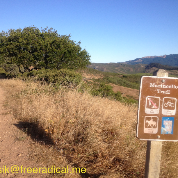
- Turn around at Marincello Trail
- Take the Alta trail through the Eucalyptus Grove
- Back on SCA Trail and then to Coastal Trail
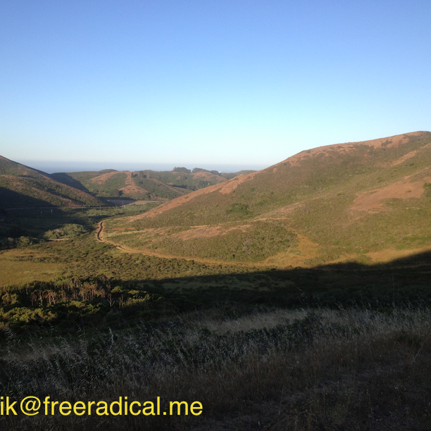
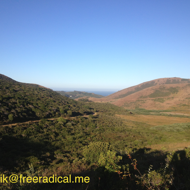
The first part of the Coastal Trail faces Marin and the inside of the headlands. You get occasional glimpses of the top of the Golden Gate bridge, but not much of the ocean. When I was half way up on Bobcat Trail, I couldn’t help thinking the phrase ‘At the bottom they came with a strange suddenness on the grass of Rohan‘ from Lord of the Rings. I reached the Marincello Road which would’ve taken me to Tennessee Valley trailhead, but I was down to half a bottle on my Nathan handheld with only one Clif Shot left to go. Sadly, had to turn back and hopped on Alta trail back to SCA trail. I was really wishing for an aid-station so I could keep going. 🙂 Inside Trail Racing does have a Mt. Tam Trail Run 50K here in November. Hmm, there’s a thought!
What’s your favorite route through the Marin Headlands?
[sc:follow_me ]