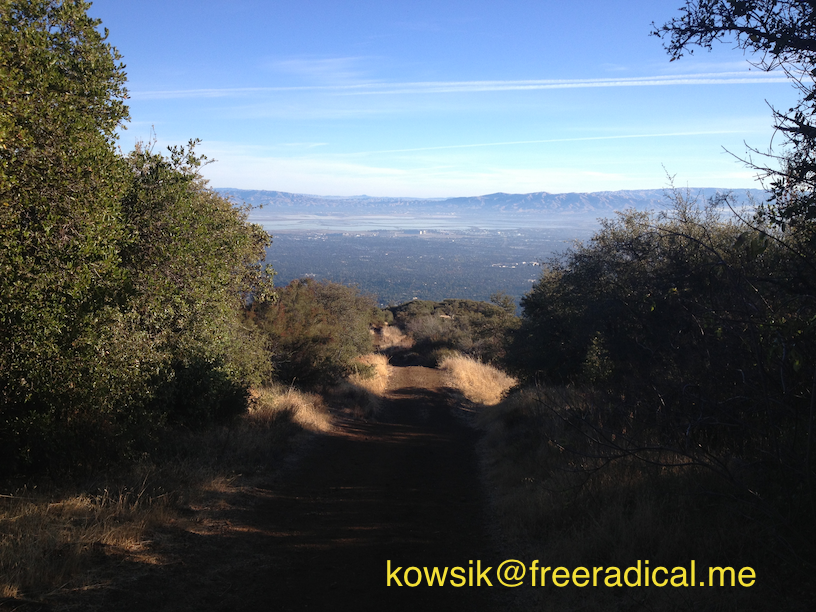
Ever since I started trail running in Rancho San Antonio, the Black Mountain Trail has had my name written on it. A couple of months ago, I almost made it to the top, but it was starting to get dark and with a 15 mile round-trip, I didn’t want to risk running in the dark, especially with no headlamps. I was forced to turn back, but not today. Now that my IT band syndrome is almost completely gone and my knees are back again without the sharp pain (more on this in a separate blog), I took on the Black Mountain Trail this morning.
Black Mountain Trail
There are multiple ways to get to the Black Mountain Trail, from Ranch San Antonio (the longest), from Rhus Ridge Trail (moderate) and also the Monte Bello Road (easiest). I picked the longest one since it’s a 16-mile round trip with a total elevation gain of 3,000 ft and I’m trying to increase my running distance past 13.1 miles. I was up early at 5:30am, hydrated on a tall glass of Chia Fresca, ate a bowl of granola, strapped on my Luna Sandals and made it to the entrance by 6:15am. The moonset with an almost full moon was amazing, but I realized my mistake. I had no headlamps on and there was no way I was going to run without knowing where I was going. So took a nap in my car until about 6:45 when the first light started to come over the hills.
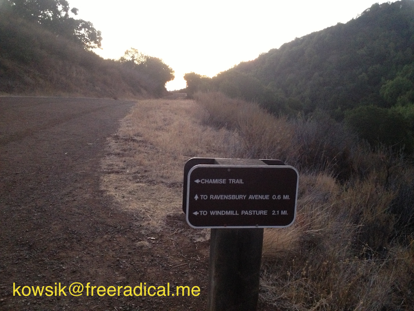
From the main parking lot (with the restrooms), head towards the Deer Hollow Farm. Once there, continue on the Rogue Valley trail which has a small grade but mostly flat. About a mile or so into it, you’ll come across a T junction. Head to the right and you’ll end up on Chamise Trail.
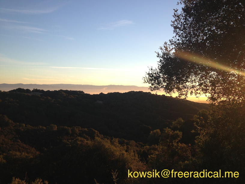
The Chamise Trail snakes up, ascends gradually and every now and then you get to see spectacular views of the east and south bay. You’ll run past the Duveneck Windmill Pasture area. This was once the location of a picturesque windmill from former ranch days when cattle freely roamed the hillsides. Here’s the sun starting to peek over the hills. I love the sensation of running up a trail when the first light hits you and warms your body.
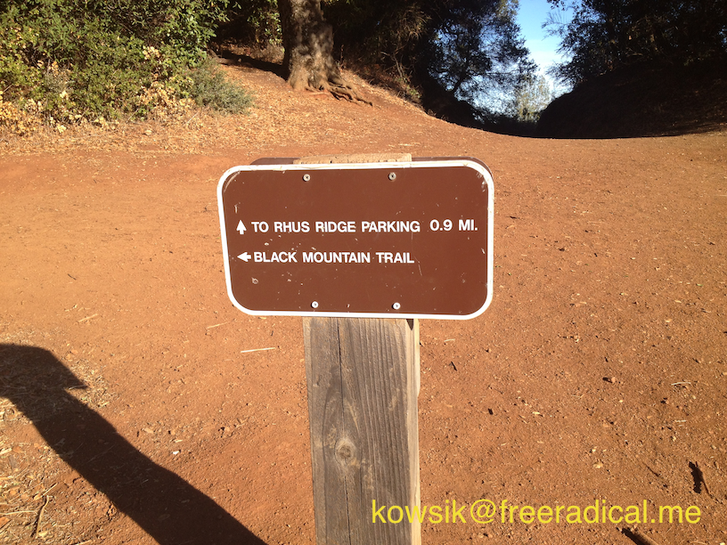
As you round the bend after the windmill, you’ll see the trail head that leads you down to Rhus Ridge parking. This is also the start of the Black Mountain Trail. It’s pretty amazing that all of these trails are connected and you could be running 10’s of miles through these various open preserves. The Black Mountain Trail starts with a gentle gradation, but don’t let that fool you. This is a tough run with lots of climbing. I interleave my runs with periodic walks to relax on the move.
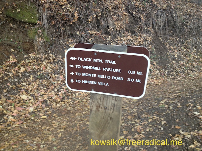
On your left, a grassy meadow slopes downhill and it’s hard to see the top of the Black Mountain from here. Every now and then, you might see power lines at the top of the mountain. That’s where we are headed. After about a mile and a half, you’ll see the trail that takes you to Hidden Villa. This is the start of switch-back city and it’s all climbing from here on. The trail never lets up and continues on with a series of switch-backs. Every other switch-back, you’ll see spectacular views of the east bay and you will be getting higher and higher.
Just 3 more miles of climbing! After the next two miles, you round a bend and you will be standing right under a power line. At this point, hold your breath, ‘cos it gets really steep. I usually end up power hiking this part of the trail. My simple rule is “if your heel ain’t touching, you ain’t running” which is a variation of what ultra-runners say: “If you can’t see the top, you walk“. Even hiking up this steep stretch is quite a lot of work.
When you almost get to what feels like the top, the trail has a little descent before it really takes you up to the gate. This is very disconcerting since you feel like you just want to get up there. But oh well. Continue on and you’ll pass a gate, which marks the end of this trail. The view from up here is pretty spectacular.
Took me around 1:45 to get up here. After rehydrating and snacking, I started the descent and after what felt like a long time, I was back at the parking lot 1:15 later. Strava clocked my run at 15.8 miles, around 3 hours with a total elevation gain of about 3,000 feet.
[sc:follow_me]